Coyote hills – Red Hill Trail
Total climbing: 446 ft
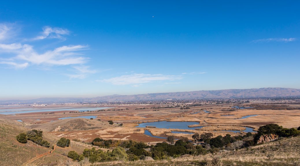
Situated just by Highway 84 and a slew of office parks, Coyote Hills is an easily accessible get away. The Red Hill trail is a trail that runs along the bulk of the “Coyote Hills”, peaking at Red Hill and eventually terminating at the Alameda Creek Trail. It’s a steep hike that provides excellent views over the bay.
If you’re looking for a longer day, Coyote Hills also acts as a gateway to the Don Edwards refuge to the south and the Alameda Creek trails to the north. It’s even trails and proximity to urban areas makes it a popular spot for trail running.
Coyote Hills Red Hill Trail Essential Info
Length: 1.5mi
Time: 1.5hrs
Difficulty: Moderate (steep/narrow sections)
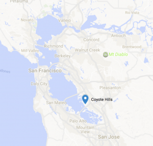
Address: 8000 Patterson Ranch Rd, Fremont, CA 94555
Hours: 8am – sunset
Entry fee: $5 per vehicle
Dogs allowed on non-marsh trails. Bikes allowed on major trails.
Website: East Bay Parks
Getting There
From highway 84 east, exit Ardenwood. Follow the road to commercial drive and turn left. You’ll pass a parking lot on the left which is free (and gets full fast!). Go through the entry gate and turn left and into the Quarry Staging Area. If you’ve arrived at the visitor’s center you’ve gone too far!
The Trail
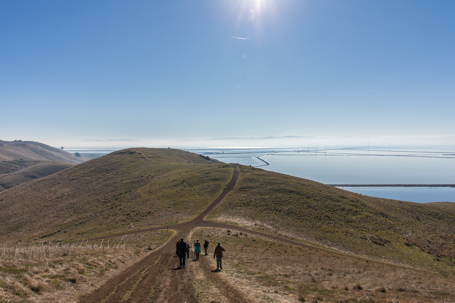
This short, introductory version of the Red Hill trail starts with a gradual ascent on the southern side, taking you past the South Marsh and the salt ponds. It’ll peak with a steep ascent just shy of Red Hill and then return via the Glider Hill trail, down past the visitor center and the Main Marsh. As can be seen in the map, the many intersecting trails allow you to customize your experience and length of your hike.
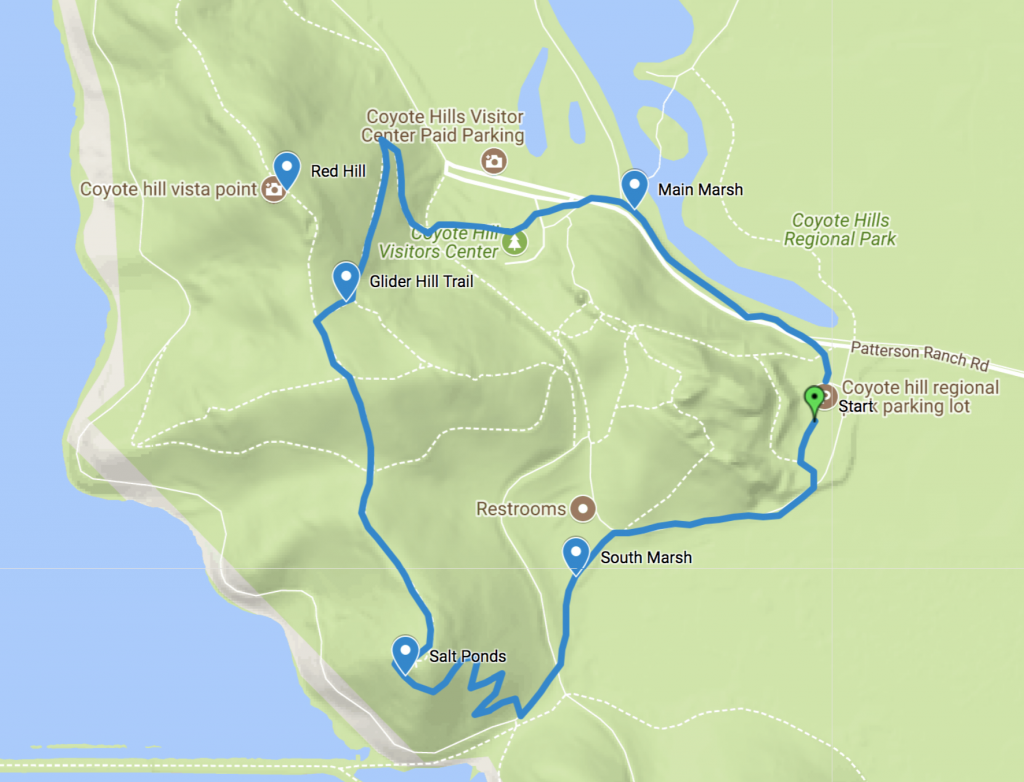
Starting at the Quarry Staging parking lot, take the paved trail towards the South Marsh. You’ll pass the Dairy Glen camping area on your right taking the short spur closer to the marsh.
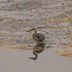
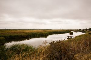
Checkpoint: South Marsh
The trail arrives at a crossroads with the Meadowlark Trail. Make a right towards the Bay View Trail. At the first intersection, veer right to the Red Hill trail which will begin a zig-zag ascent up the first hill.
Checkpoint: Salt Ponds
After ascending the first hill, you’ll get a great view of the Dumbarton bridge and former Cargill salt ponds.
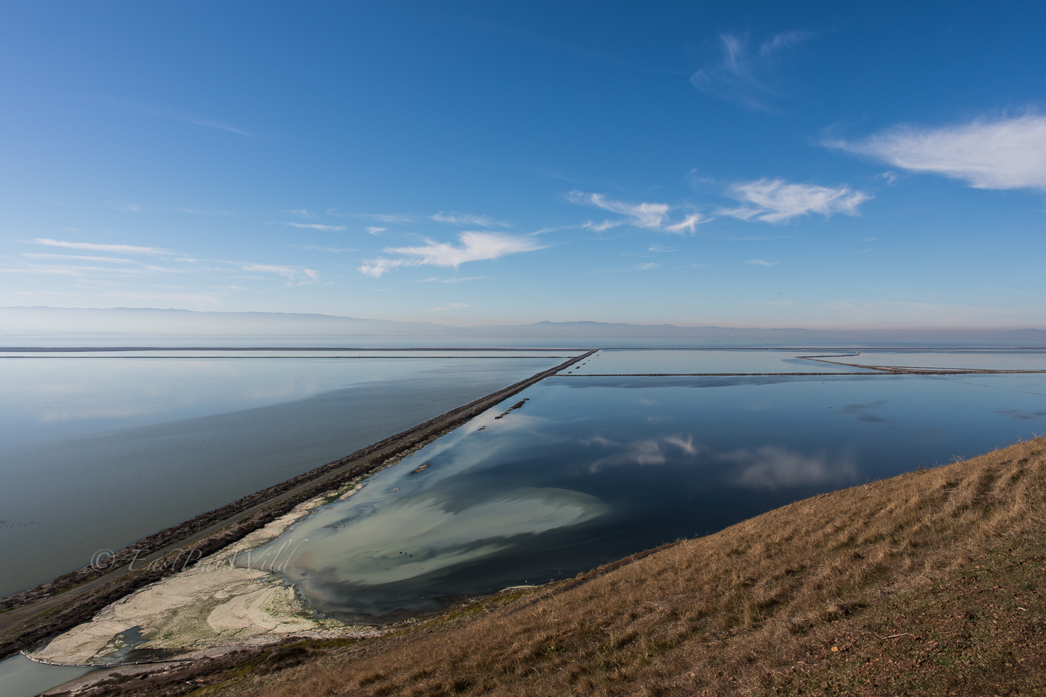
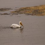
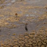
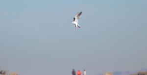
With the levees broken to allow bay waters to naturally circulate, the salt ponds have begun to attract migrating birds who use the San Francisco Bay as a rest stop along their migratory routes.
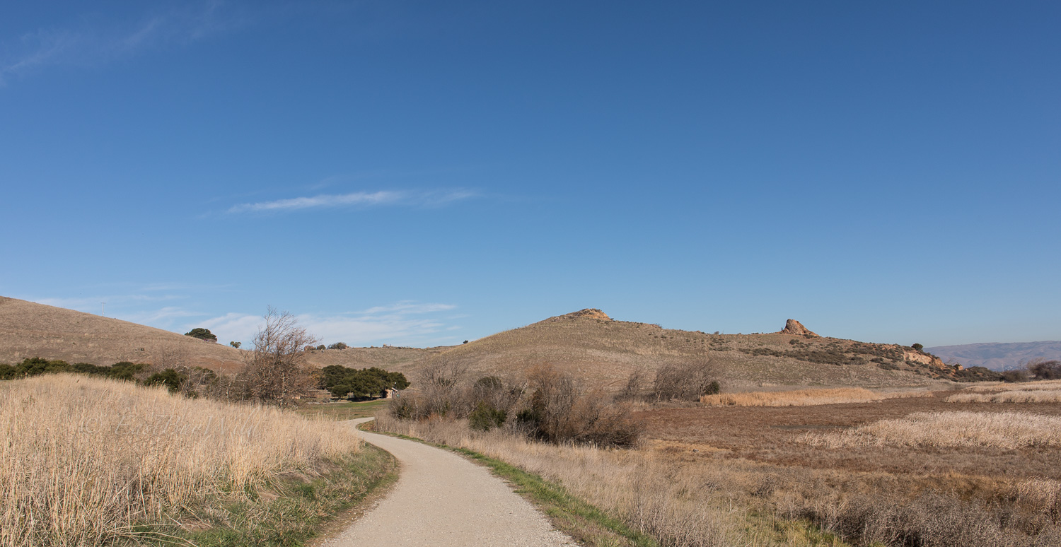
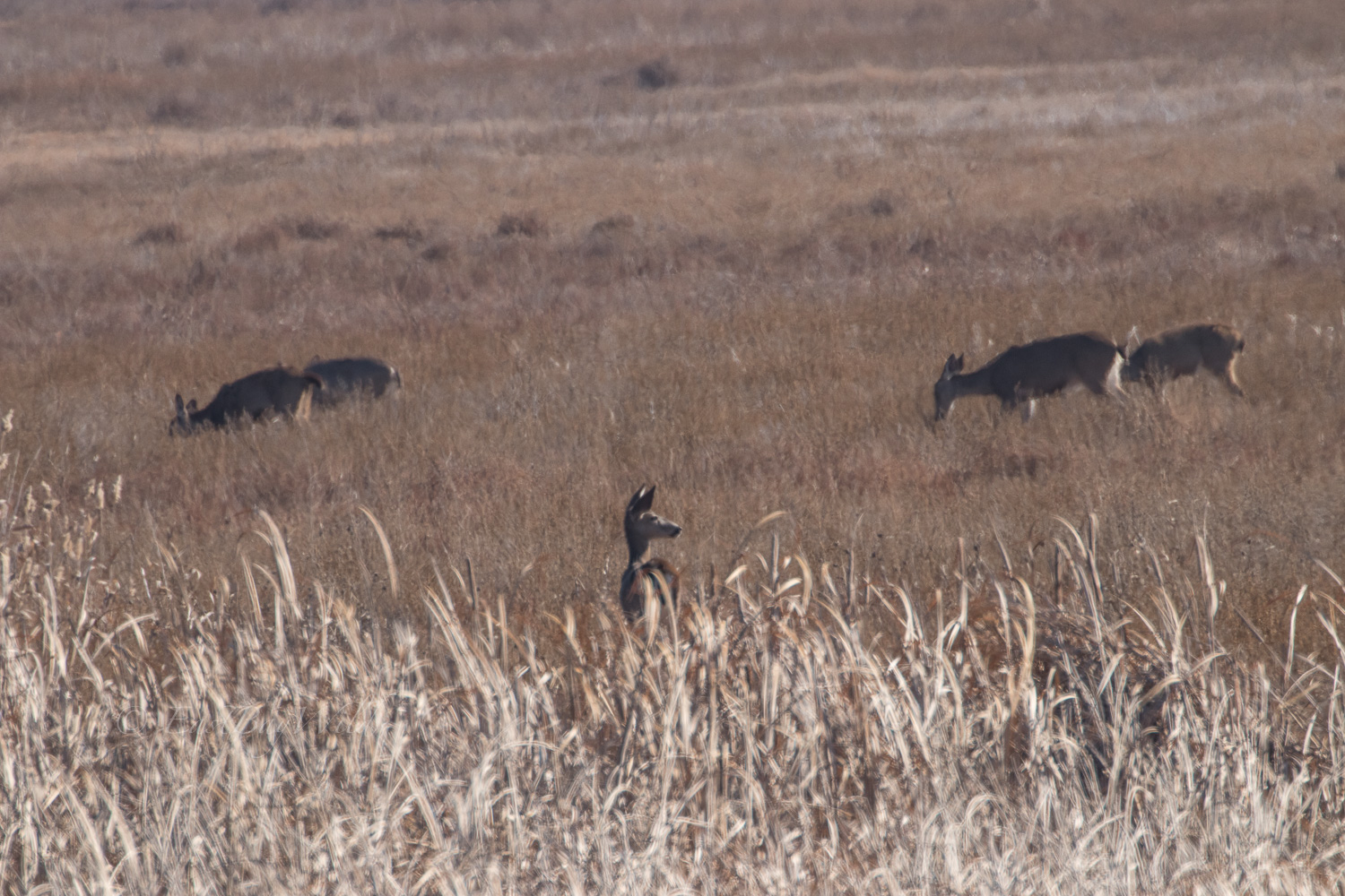
From the salt pond view, the trail will begin to run directly along the ridge-line, following the ups and downs of the hills.
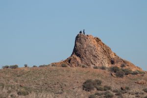
Along the peaks, small outcrops provide an exploratory break.
Checkpoint: Glider Hill Trail
After descending down the first peak, veer right to take Glider Hill Trail down to the visitor center. Alternatively, if you’ve got the energy, continue along Red Hill trail to the vista atop Red Hill.
Glider Hill trail will zig zag down the hillside and take you directly to the visitor’s center.
To return to the Quarry Staging area, cross Patterson Ranch road road and take the Bayview trail east, away from the bay. Here you’ll pass the Main Marsh before arriving back at the parking lot.
Checkpoint: Main Marsh
Alternatives
- Bayview Trail
- Easy hike around the Coyote Hills, closer to the water level
- Alameda Creek Trail
- Explore one of the major river outlets of the south San Francisco Bay
- Chochenyo Trail
- Explore the Main Marsh
You must be logged in to post a comment.