Murietta Falls: Lake Del Valle-Ohlone Trail
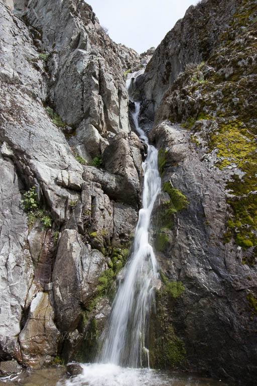
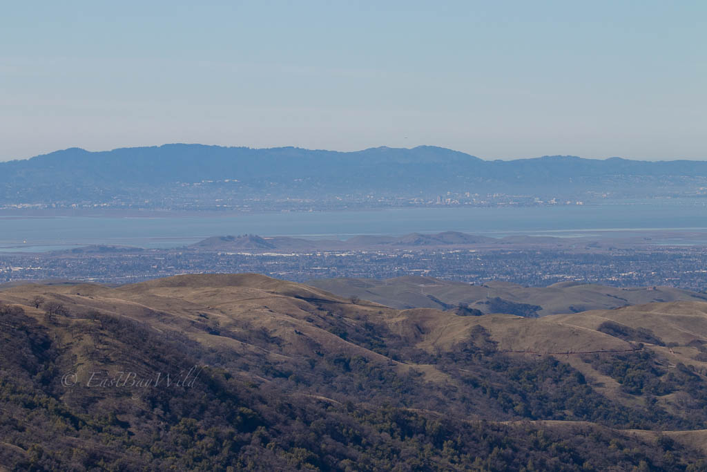
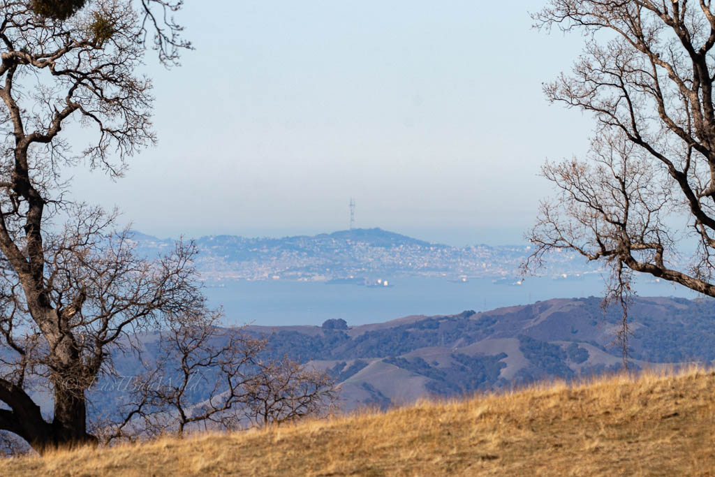
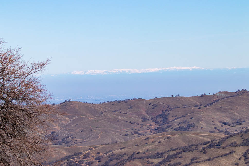
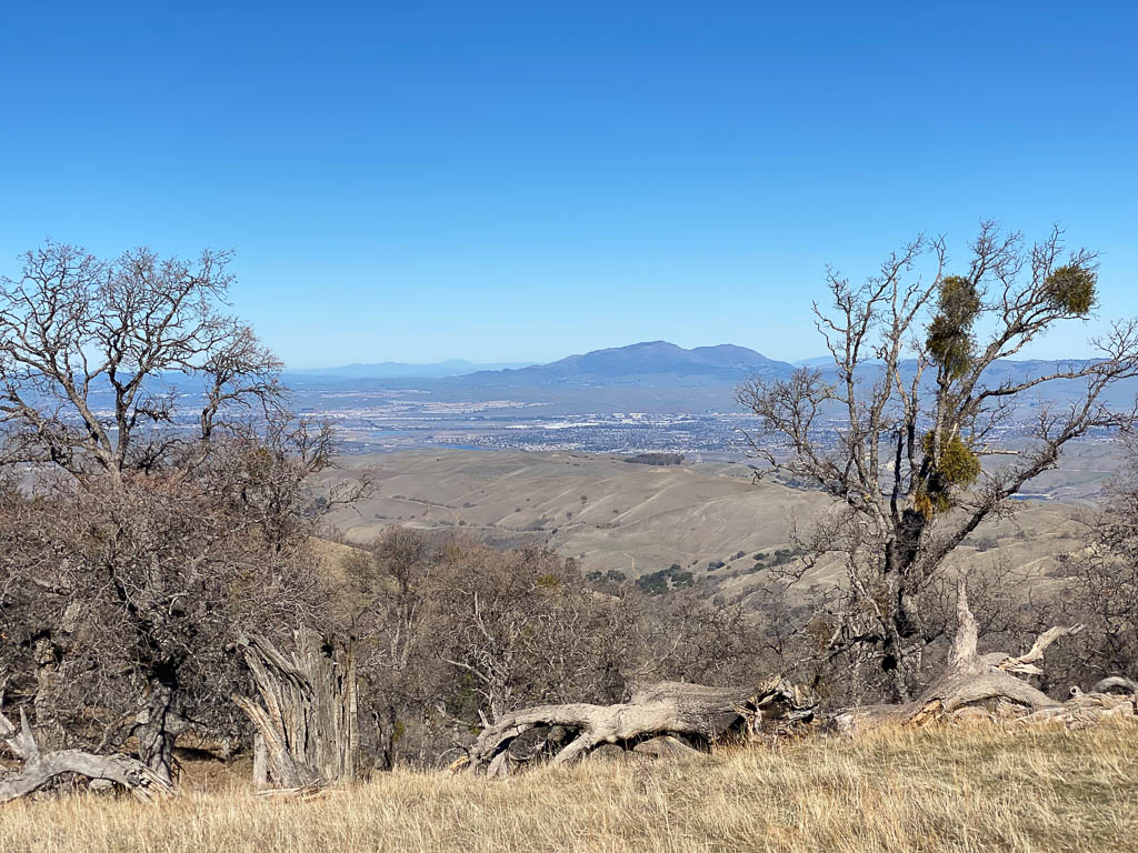
Spring is the ideal time to visit the seasonal, secluded Murietta Falls located in the Ohlone Wilderness Regional Preserve. It takes a little luck (i.e., rain) to see the falls in their full splendor, but along the way, you’ll also be treated to magnificent views of San Francisco Bay to the West and the Sierra Nevada to the east.
If you do decide to go during the summer time, caution should be exercised for long hikes such as this: there’s little shade and little water along the way.
Essential Info
- Hours: Varies (Check Del Valle website)
- Cost: $2/person for trail permit, $6/vehicle
- Difficulty: Hard
- Time: ~8 hours.
- Length: ~14 mi. in and out
- Elevation Gain: 4550ft.
- Additional COVID-19 info (as of 2/2021): The West shore parking lot at Del Valle is closed but a small parking lot is available at the turn off leading to it. Water and bathroom facilities are closed. Go early!
- Water: Camps in the wilderness offer water, however a filter is recommended.
- Dogs: OK, $2/dog
- Website: Del Valle and Ohlone Wilderness
Getting There
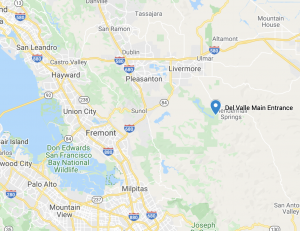
Heading on I580 East, exit N. Livermore. Continue south where the road will transition into S. Livermore and then Tesla streets. After about 0.5 miles, make a right at Mines Road. Continue for approximately 3.5mi and continue straight onto Del Valle Rd. This road will take you to the main entry gate of Del Valle.
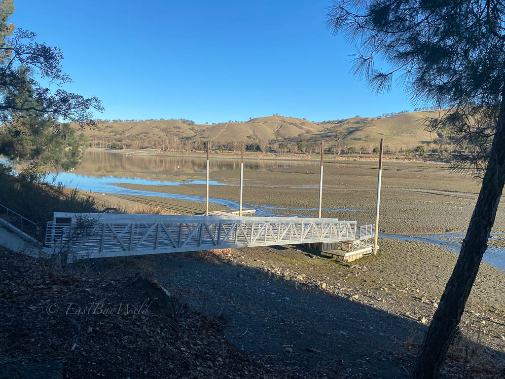
After the entry gate, proceed straight towards the West shore. After crossing the bridge, turn right. At the time of this writing, the West shore facilities are closed and you should park at the small parking lot at the turn off; it’s a short walk to the West shore parking lot. If it is open, you park in the main area. The trail head is towards the far end of the parking lot.
The Hike

From the West shore parking lot, look for the Ohlone/Sailor Camp trail head signs around the far end of the parking lot. The trail back tracks along the lot for a hundred feet, then switches back into a slight ascent.
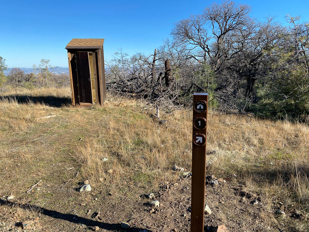
The first segment is the Sailor Camp trail which is an intermediate hike to the Ohlone Trail. At the start of the Ohlone trail is sign-in sheet.
Along the way, water is available at Stromer Spring (use a filter!) and shortly after, Boyd’s camp offers an outhouse.
From there, the most difficult stretch of the trail descends into Willams Gulch and subsequently climbs out over an elevation gain of ~1450 ft.
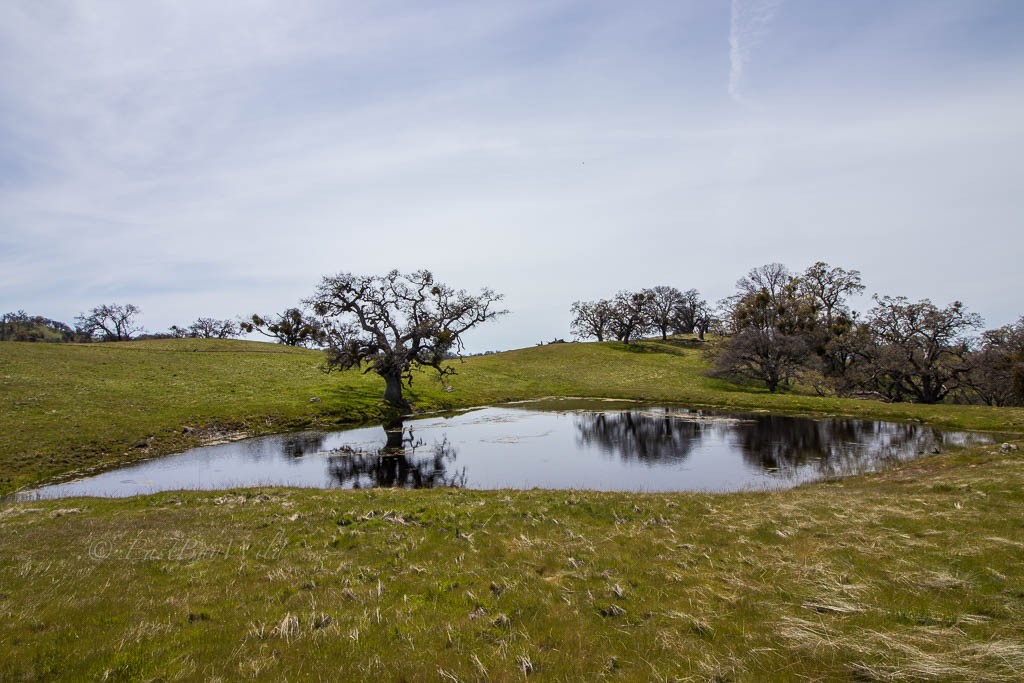
Johnny’s pond marks the end of the ascent and a crossroads. Keep right around the pond to go to Murietta falls.
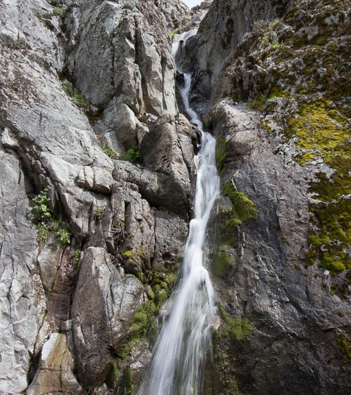
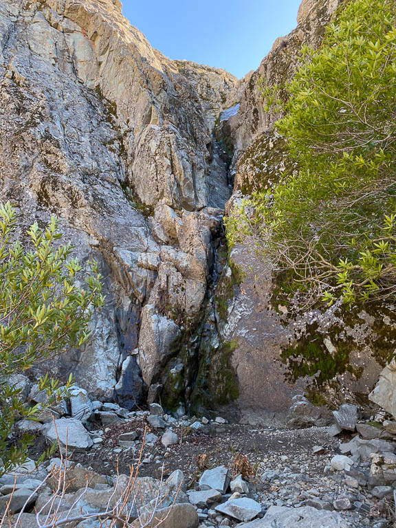
If the falls are flowing, you’ll cross a small stream that is the fall’s source. Look for a large boulder which marks the turn off to go to the falls.

As one last hurdle, there’s a steep, narrow descent to get to the base of the falls.
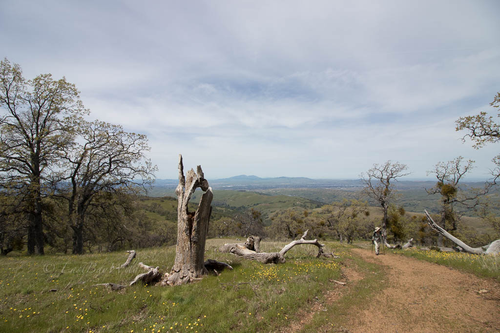
Trail Gallery


Related and Nearby
- Del Valle Arroyo Entrance
- Intermediate hike to the top of the dam and along the east shore
- Brushy Peak
- Intermediate level hikes with good bird viewing
- Los Vaqueros Reservoir
- Smaller version of Del Valle lake with recreational amenities and hiking
- Concannon Vineyards
- Restaurant and wine tasting
- Wente Vineyards
- Restaurant and wine tasting
- Altamont Beerworks
- Taproom
You must be logged in to post a comment.