
Shadow Cliffs Regional Recreation Area – Levee and North Arroyo Trails
Total climbing: 597 ft
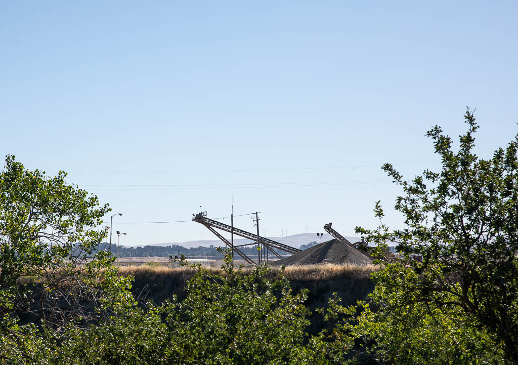
Shadow Cliffs sits in the the “Chain of Lakes” area of Pleasanton, created by gravel mining operations run by the Kaiser Sand and Gravel Company started in 1938. Donated by Kaiser Industries in 1971, the Shadow Cliffs regional recreation area provides swimming, boating, fishing, and hiking activities as part of the East Bay Regional Park District.
Shadow Cliffs Levee-Arroyo Trail Essential Info
Length: 3mi
Time: 1.5 hr
Difficulty: Easy
Alltrails link: https://www.alltrails.com/explore/recording/shadow-cliffs-levee-and-north-arroyo
Fees: $6 per vehicle, $2 per dog
Trail Map: https://www.ebparks.org/civicax/filebank/blobdload.aspx?BlobID=24403
Hours:
Nov – Feb
7am – 5pm
Mar – Apr
6am – 7pm
May – Labor Day (Sep)
6am – 9pm
After Labor Day (Sep) – Oct
6am – 7
Getting There

Shadow Cliffs Regional Recreation Area lies situated in Pleasanton near the border with Livermore.
To get there, Take 580E towards Tracy and exit Santa Rita Road, going South. Turn left at Valley and then make another left at Stanley. The park entrance will be on your right hand side.
The Trail

Checkpoint: Parking Lot
Relative to most of the EBRPD parks, Shadow Cliffs has a huge parking lot. For this guide, we start out in the parking lot furthest away from the entrance located in the boat launch area. All of the parking lots have easy access to the Levee trail. The 2nd parking lot features solar panels providing shady spots and are probably the most ideal choice.

Checkpoint: Levee Trail Start
Depending on the parking lot, look for signs directing you towards the Levee trail. The Levee trail runs along the back side (the direction opposite of the main lake) of all three parking lots. There will be a short climb up to the top of the levee where it then flattens out.
Make a left when you reach the top of the levee. The main recreational lake and parking lots should be on your left hand side and the Arroyo Del Valle on the right hand side.
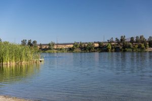
This long flat trail is popular with trail runners and provides decent views of Mt Diablo over the main lake (our featured picture at the top of this page). On the right hand side runs the Arroyo Del Valle which sources from the hills of Santa Clara County, through Del Valle Lake, and eventually flows out to the San Francisco Bay via Alameda Creek.
Continue along the Levee Trail until you dead end at the park boundary.
Checkpoint: Boundary
From the boundary, turn back towards the direction you came while looking out for the North Arroyo Trail turn off on the left hand side.
Checkpoint: Arroyo Trail
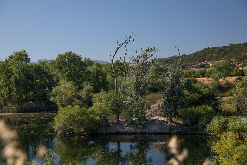
When you find the turn off, descend down the levee onto the North Arroyo Trail. It should take you close to the bottom edge of Island Pond then turn away to follow the Arroyo Del Valle which runs parallel to the Levee Trail.
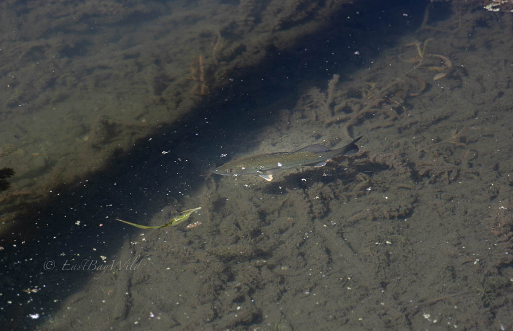
Follow the Arroyo Trail where you can get close to the water’s edge. Fishermen kick back from the shoreline or float on un-powered inner tubes in Boris Lake to catch the catfish, trout, largemouth bass, and bluegills that are regularly stocked.
Checkpoint: Lake View
Boris Lake, along the Arroyo Del Valle, is a popular place for fishermen and dog walkers during the summer where their furry friends can take a quick dip in the shallow lake waters.
Checkpoint: Crossroads
Proceeding down the Arroyo Trail you’ll come to a crossroads in sight of the entry kiosk and the first parking lot. Here you can choose to continue on the Levee Trail to circle around the Rimillard Marsh (as shown in this guide), cross the Arroyo Del Valle to the South Arroyo trail (note this is not a loop), or head towards the parking lot and finish your hike.
If you choose to circle around the Rimillard Marsh, continue on the Levee trail and then be on the lookout for the signs to return back to the parking lot. The trail otherwise continues towards a BMX bike park at the outskirts of Shadow Cliffs.
Shadowcliffs Alternates
- Del Valle Lake
- Livermore, Fishing, Hiking, and other water activities.
- Los Vaqueros Reservoir
- Livermore, Fishing and Hiking
- Sunol Regional Wilderness
- Sunol, Hiking, Little Yosemite