Sunol Regional Wilderness – Little Yosemite
Little Yosemite Essential Info
Total climbing: 469 ft
Length: 2.7 mi
Time: 1.5 hr
Difficulty: Easy
Facilities: Visitors Center and vault toilets.
Hours: 8AM-5PM (winter) 8AM-7PM (and later depending on month)
Dogs: $2 fee.
Parking: $5 per vehicle
More Info: East Bay Parks Website
The site says there’s no drinking water, but they often serve water out of drinking jugs near the visitor’s center.
Seasonal Note: Like many East Bay parks, Sunol Wilderness can be extremely hot and exposed during the summer. The longer hikes are best avoided during this time of year. Spring is the best time, offering wild flowers, flowing creeks, and milder temperatures.
Getting There
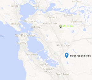 Access the park via 680. From the South bay, take 680N to Calaveras/84-W off ramp and make a right onto Calaveras Road.
From the northern bay areas, take 680S to the Calaveras Road/84 Dumbarton Bridge exit. Make a left onto Calaveras Road. Note that the preceding exit is labeled “Sunol” and is not the correct exit.
Stay on Calaveras Road for 4.3 mi. Along the way, you’ll come across a couple of plant nurseries, a construction aggregates facility,and a water treatment plant along the southern side of the road. The road is also popular with bicyclists.
At approximately 4.3 mi, make a left onto Geary Road. At the time of this writing, Calaveras Road is closed beyond Geary road making this turn really hard to miss.
Geary Road will eventually lead to an entrance gate and ranger booth that will provide a park map in exchange for the vehicle entry fee.
Little Yosemite Trail

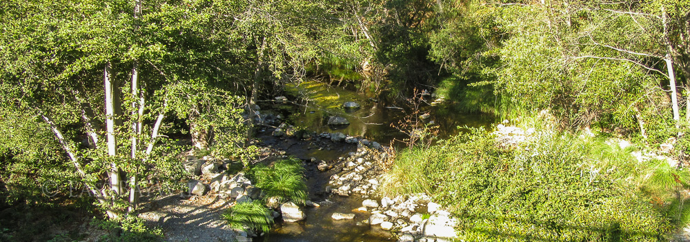
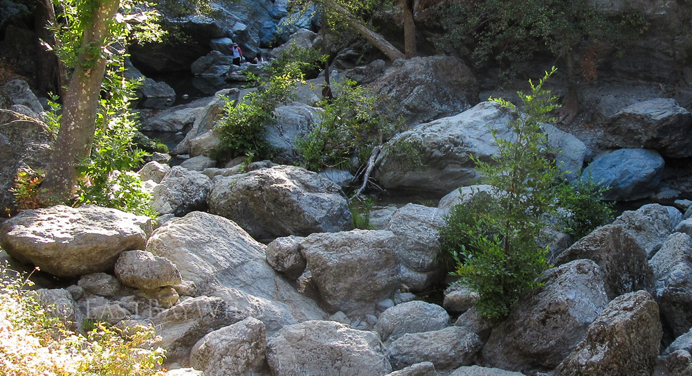
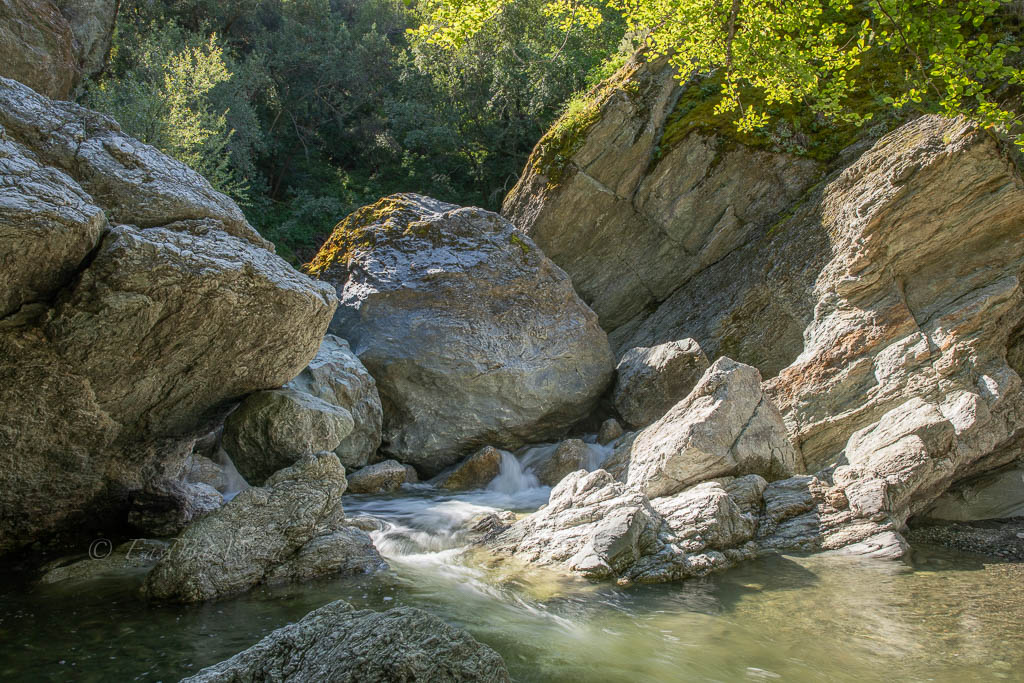
The most popular destination in the Sunol Regional Wilderness! Come see the the Alameda Creek wind across giant boulders and through the steep granite canyon.
The most direct route is to park at the end of Geary road (past the visitor center and the horse corral) as close to the bathroom as possible. The Camp Ohlone Road starts here, immediately crossing the Alameda creek.
Checkpoint: Bridge
Checkpoint: Little Yosemite
From here, the dirt road follows a gradual incline up to a picnic area with an outhouse. Follow the dirt paths down the creek side to get a better view of the Little Yosemite features.
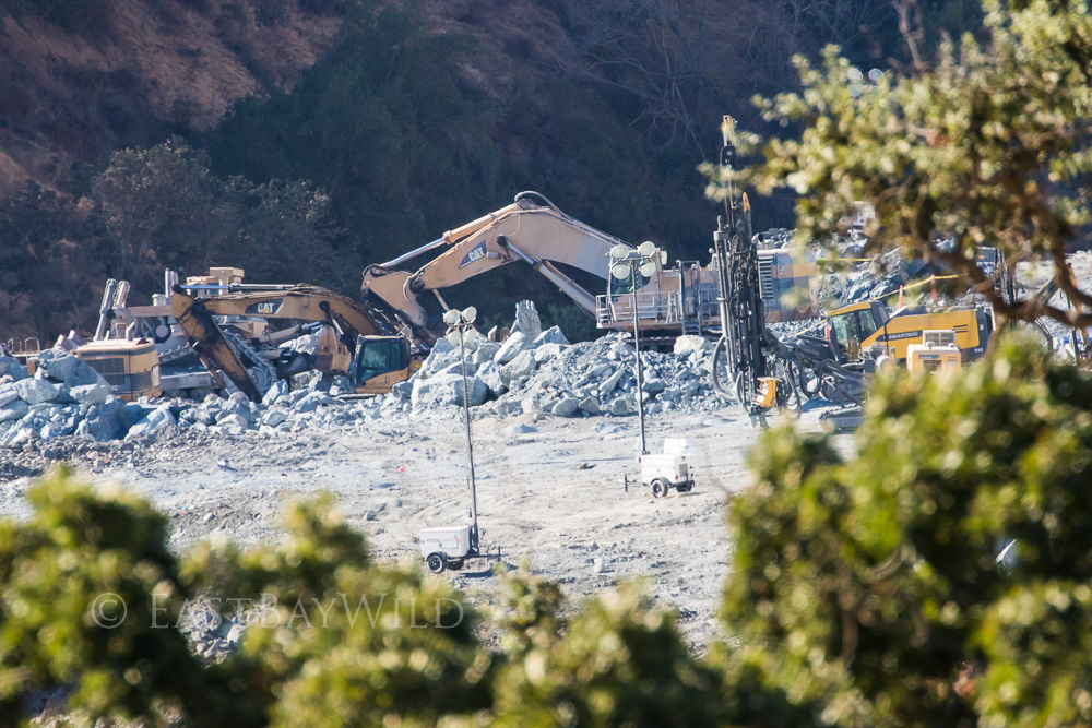
To return back to the parking lot, you can either follow the road straight back (easiest) or proceed through the picnic area to take the Canyon View Trail to the McCorkle trail. Along the way, you’ll likely glimpse the work being done on the Calaveras Dam replacement project. Calaveras and nearby San Antonio reservoirs are maintained by the SF Water Department and serve as part of the Hetch Hetchy water system.
Checkpoint: McCorkle Trail turn off
Taking the left hand side trail will bring you down McCorkle trail and back to the Ohlone Camp Road. As an alternative, you can also continue along Canyon View trail which will bring you to the visitor’s center area.
Alternatives
Be sure to check out Eagle View or Flag Hill trails in the Sunol Regional Wilderness!
2 thoughts on “Sunol Regional Wilderness – Little Yosemite”