Las Trampas Rocky Ridge View Trail
Total climbing: 1834 ft
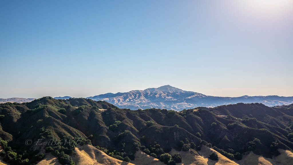
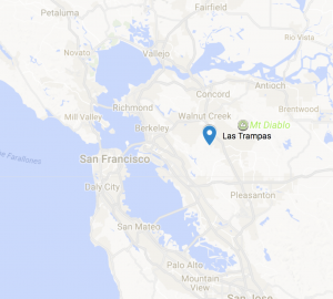
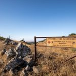
Located in the backyard of Alamo/Danville/San Ramon, Las Trampas Regional Wilderness offers tri-valley residents a nearby getaway with spectacular views of Mt. Diablo and the San Francisco Bay/Delta.
A little bit of trivia: The home of the America’s only Nobel winning playwright, the Eugene O’neil lies situated within the park. Visits allowed by tour only.
Las Trampas Essential Info
Distance: 5.6 miles
Time: 3 hours
Difficulty: Moderate
Elevation Gain: 1400 feet
Dogs: OK
Trail Map
Hours:
Jan 1 – Feb 13
8am – 5:30pm
Feb 14 – Mar 8
8am – 6pm
Mar 8 – May 20
8am – 7pm
May 21 – Sep 3
8am – 8pm
Sep 4 – Nov 1
8am – 7pm
Nov 2 – Dec 31
8am – 5:30pm
Note that these are gate opening/closing times. It’s possible to park outside of the park and hike in.
How To Get There
From 680:
Exit Crow Canyon road west. Proceed about 1.3 miles, passing a Home Depot on your right. Turn Right onto Bollinger Canyon Road. Proceed another 3.4 miles to the entrance.
The Trail
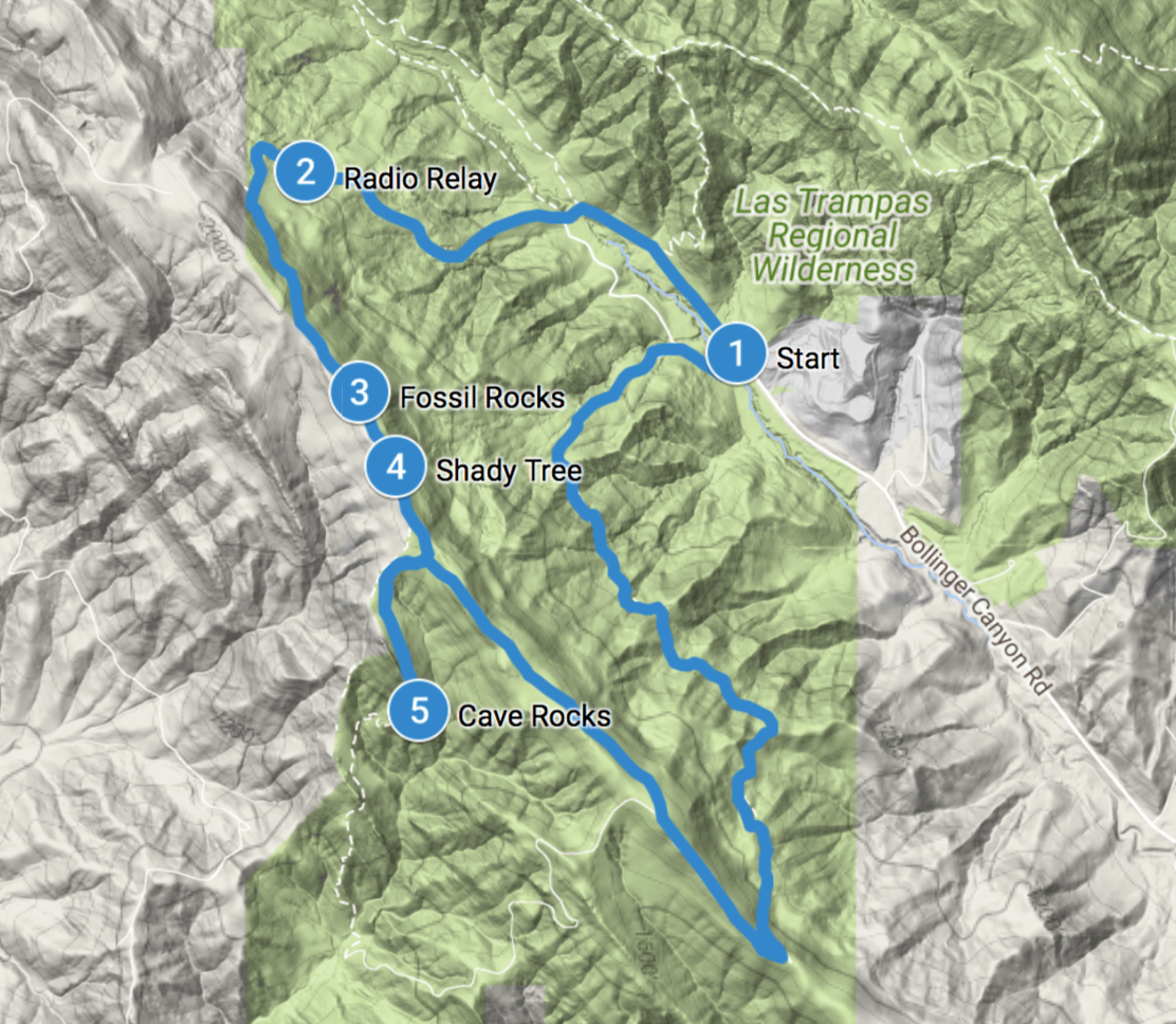
Checkpoint: Start
Start out at either the main staging area or, if you arrive before the gate opens, the Little Hills Picnic Ranch parking just before the gate. If you choose the latter, there’s a trail head you can take which passes the Corral Camp and brings you to the main staging area.
From here, proceed through the cattle gate towards the Rocky Ridge View Trail. The first half a mile is a wide paved road.
Checkpoint: Radio Tower Relay
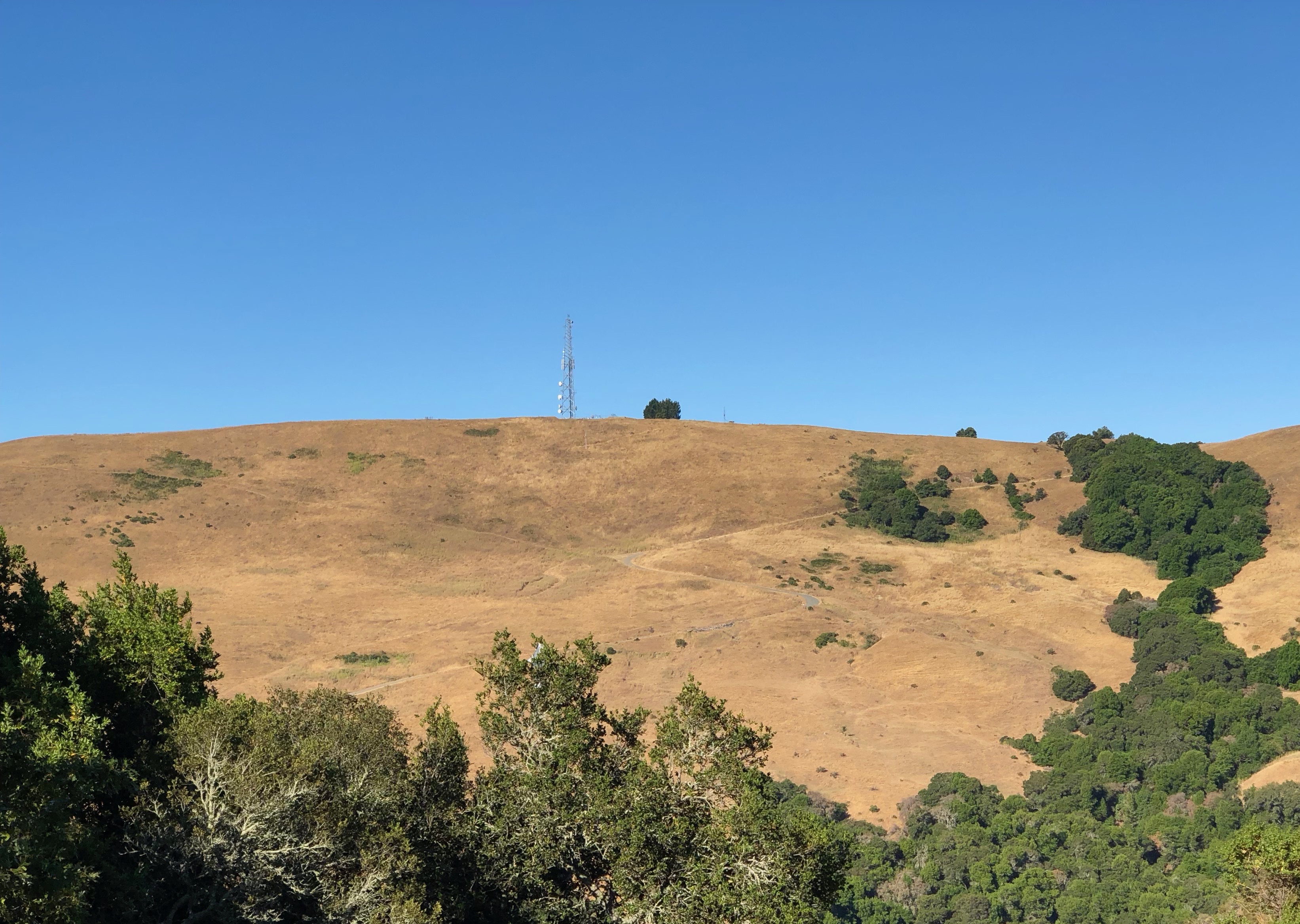
Continue up the relatively steep paved road. At the time of this writing, a stretch of pavement just near the top had been damaged by the 2016 winter rains. Simply take the detour around the left hand side of the damage. You’ll eventually come up to a locked gate. Veer left to continue on the Rocky Ridge trail.
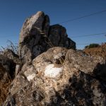
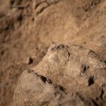
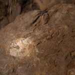
Checkpoint: Fossil Rocks
Upon reaching the ridge, be on the lookout for the EBMUD gate and check out the clump of rocks next to it for fossils.
Las Trampas lay within the ocean millions of years ago and through geologic uplifting, formed the ridges present today. Read more here.
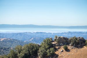
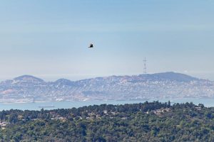
Moving along the top of the ridge, you’ll be treated to all kinds of wonderful views of the bay area on a clear day. Peering over the east bay hills with binoculars, the bay and San Francisco are easily visible.
Checkpoint: Shady Tree
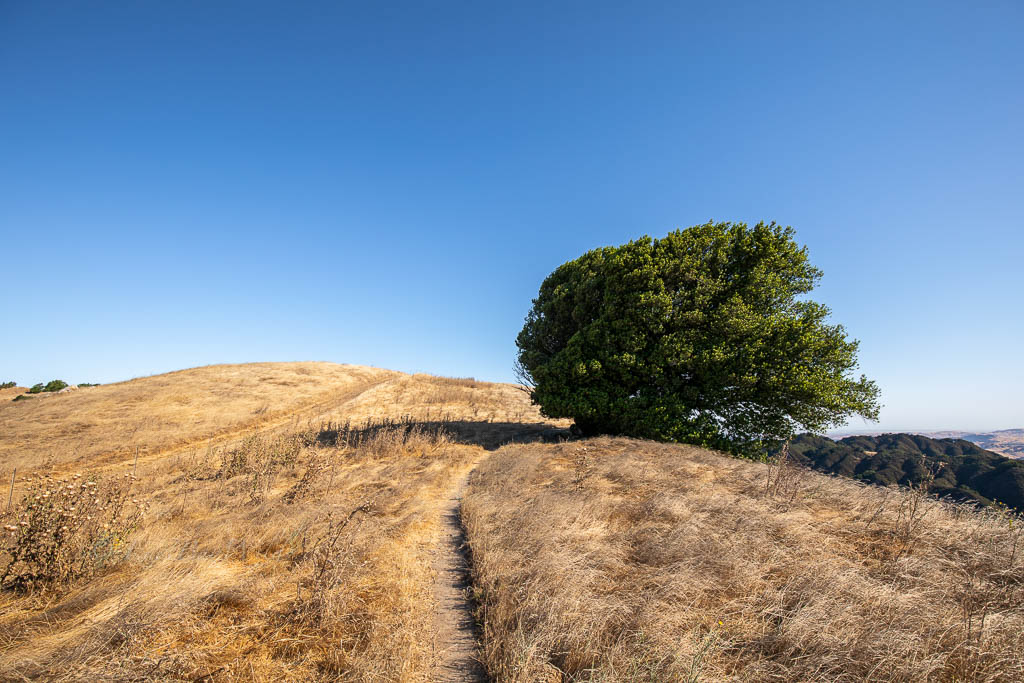
A lone tree dots breaks up the continuity of the Rocky Ridge trail. The trodden dirt underneath belies its popularity with the cows.
Checkpoint: Cave Rocks
A short spur from the Rocky Ridge View trail along the Sycamore trail will bring you to an interesting mass of rocks, deformed through cavernous weathering.

It’s possible to continue along the Sycamore trail which will return to the Rocky Ridge View trail via the Devil’s Hole trail. This will add about 3 miles to the hike.
Assuming you are not doing the additional loop, return to the main trail and proceed about 1.1 miles. Turn left onto the Elderberry trail which will bring you back to the Corral Camp. From there, you can veer right to the Little Hills parking lot or left towards the main staging area.
Alternate Hikes
- Ringtail cat trail from the northern side of Las Trampas
- We’re working on a write up of this. Stay tuned!
- Mission Peak
- Great views! One long climb upwards….
- Sunol Regional Wilderness
- Flag Hill trail
- Similar elevation climb with views of the Sunol valley.
- Little Yosemite
- Gushing waters of Alameda Creek through giant granite boulders (best during spring)
- Flag Hill trail
You must be logged in to post a comment.