Rush Ranch – A trip to the Sacramento-San Joaquin Delta
Total climbing: 157 ft
Essential Info
Length: 2mi
Time: 1.5 hrs
Difficulty: Easy
Facilities: Visitors Center and flush toilets.
Hours: 8AM-5PM (winter) 8AM-7PM (others); Occasionally closed on weekend so check ahead.
Dogs: On leash only and not allowed in the marsh/pasture areas. Suisun Hill trail is OK.
More Info: Solano Land Trust Website
Highlights
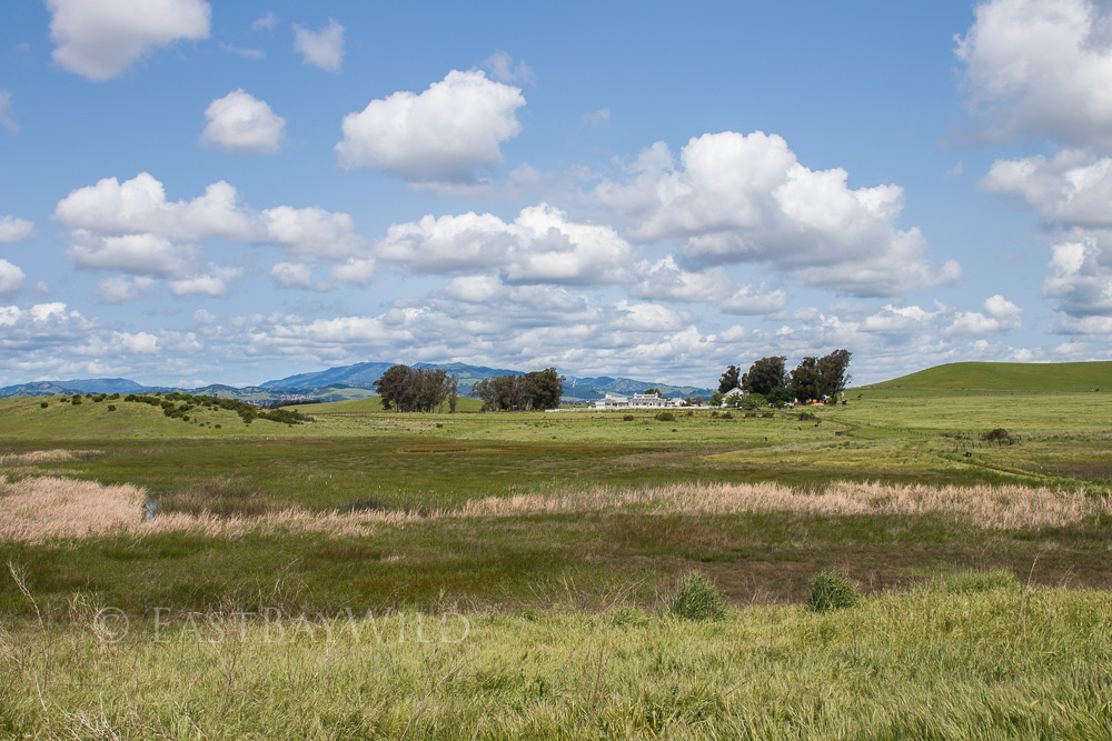
The Rush Ranch Open Space Preserve brings us to an old ranch along the tidal marshes of the Sacramento-San Joaquin River delta. Aquatic birds flock to the brackish waters of the Suisun Marsh in which fish like wild salmon and delta smelt thrive. Nearby Grizzly Island reportedly provided foraging grounds for the now extinct California Grizzly which came down from the Mt Diablo foothills to forage on the island.
The hikes within the ranch area provide trails along the sloughs and above in the hills that provide grand views of the marsh land. The preserve is operated by the Solano Land Trust and provides various free activities.
 Getting There
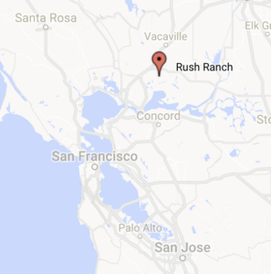
Rush Ranch is located next to Suisun City, just south of Fairfield. Take 80E to Sacramento, then switch to 12E near Fairfield. After about 6.5 miles, turn right onto Grizzly Island Blvd. You’ll pass a strip mall on the left hand side and the road surroundings will quickly shift to water and marsh grasses. 2.5 miles in, the ranch will be easily visible on the right.
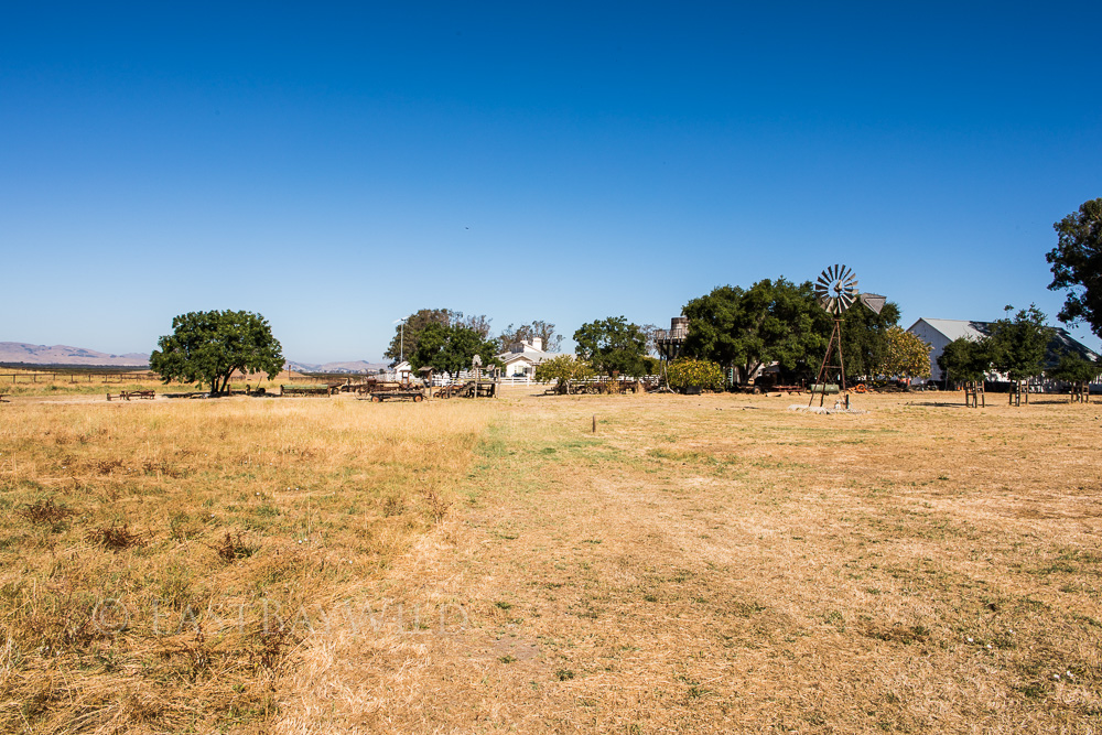
The Ranch
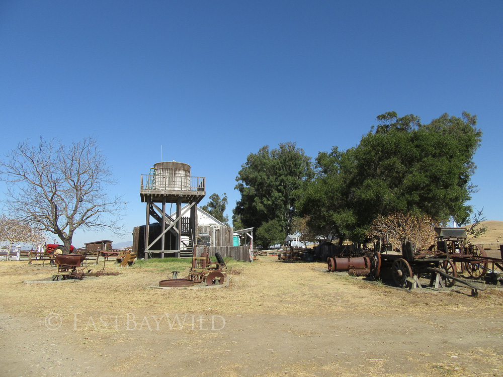
Even if you’re not a hiker, a visit to the ranch can be a worthwhile excursion if you’re in the area. They feature the “Bone Yard”: a grave yard of old farm equipment and blacksmithing classes (check their event calendar).
Opportunities for wildlife viewing exist even here as the locals check out the attractions.
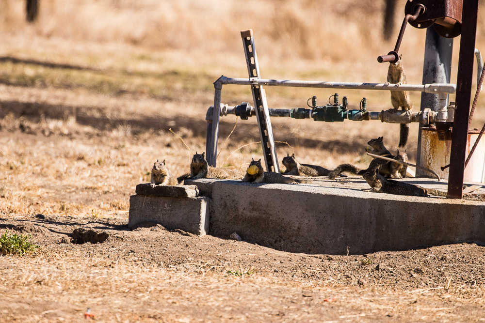
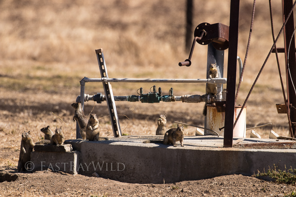
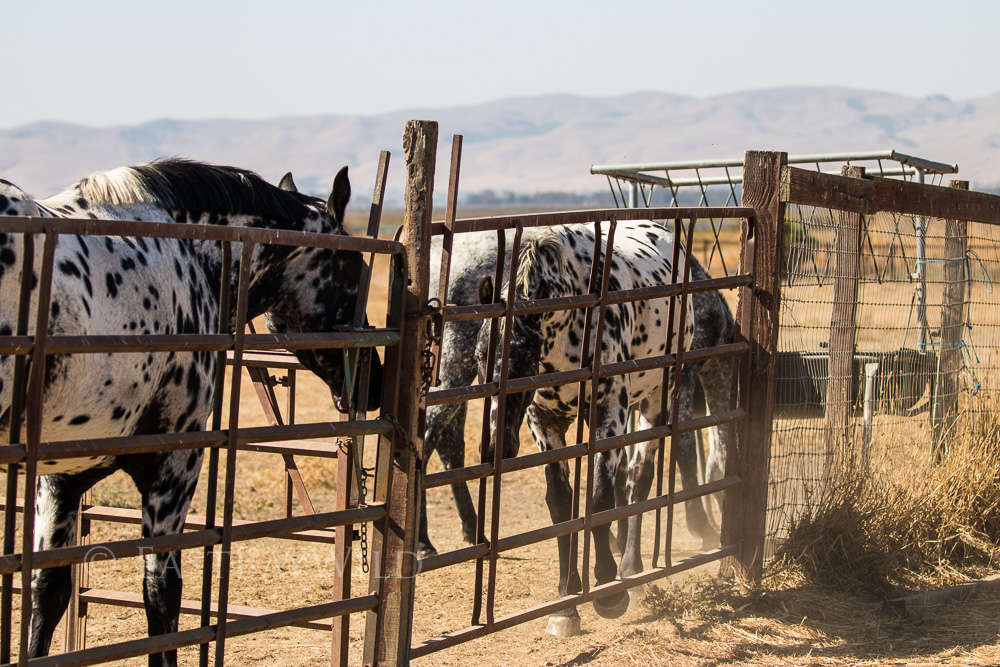
The ranch’s horse corrals are frequently occupied.
The Marsh Trail
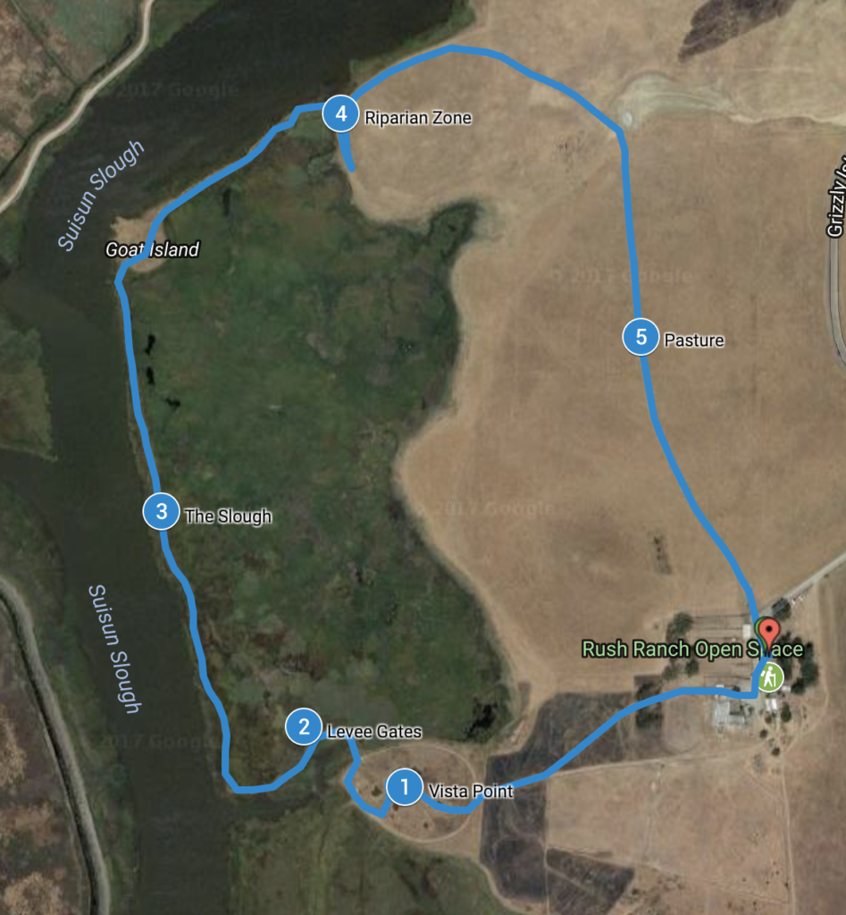
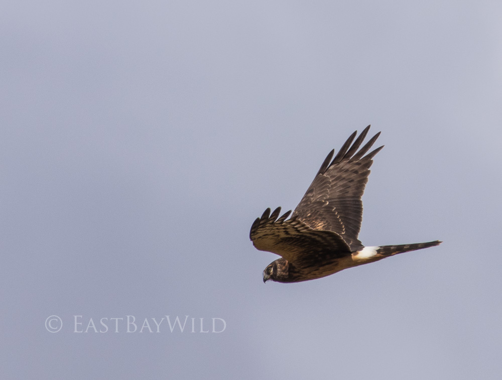
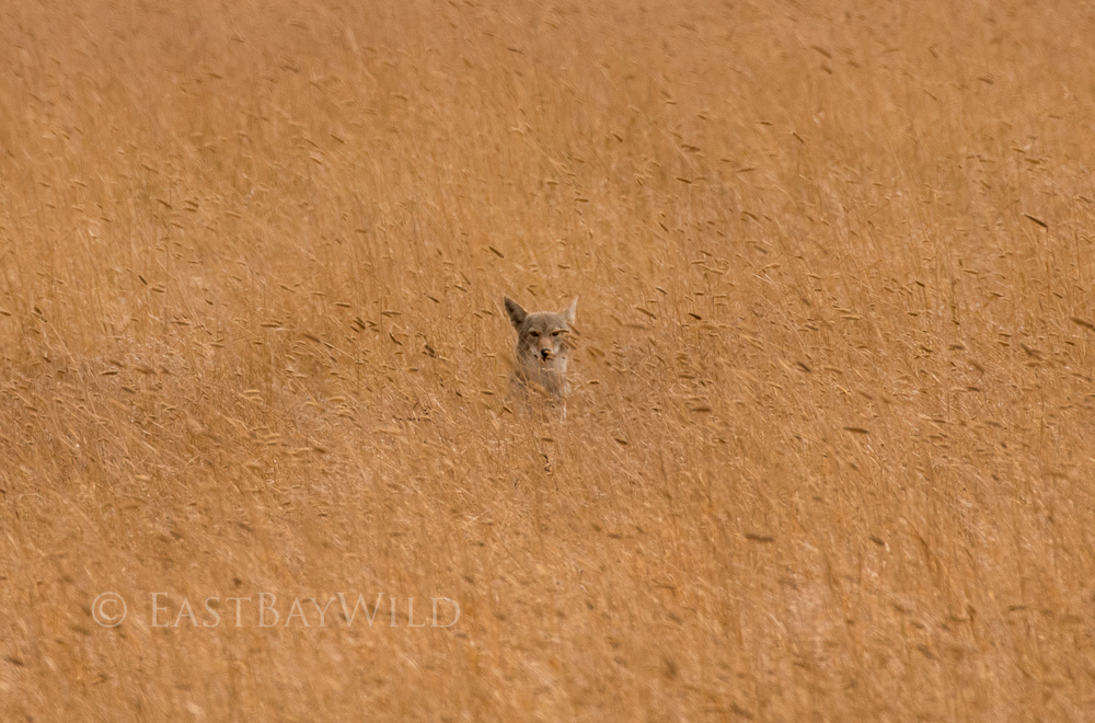
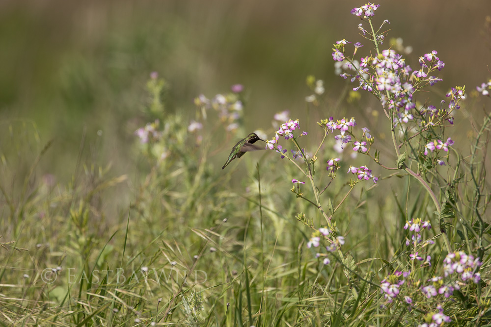
The Marsh Trail is an easy, flat hike which traverses various habitats and offers plenty of opportunities to sight birds, coyotes, and wonderful landscapes.
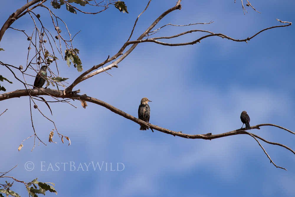
Hiking through the visitor center, past the horse corrals you’ll immediately pass a grove of trees. Make a quick scan for owls or other birds resting on the branches.
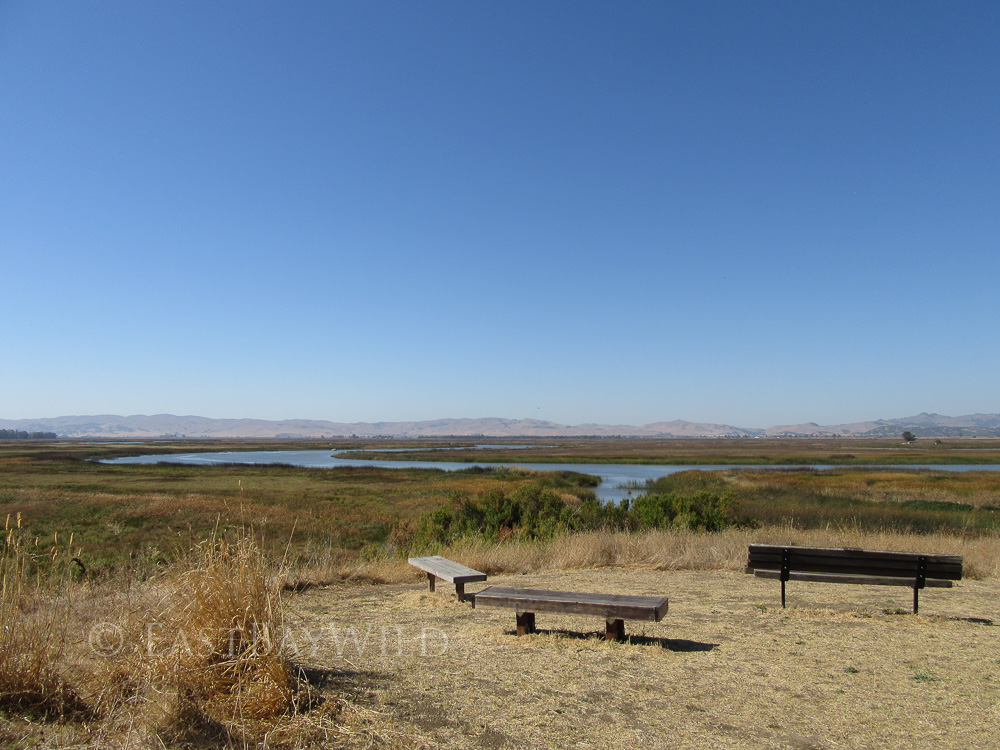
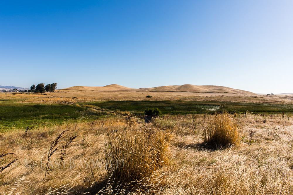
Continue on past some grassland to the base of a small hill. The steepest part of this trail, a small ascent up a lookout hill offers grand views of the marsh. Relax on the benches and have a snack while taking in the view.
Descending down from the lookout you’ll pass a few Native American interpretive exhibits at the bottom of the hill. Follow the signs to stay on the trail.
Suisun Slough
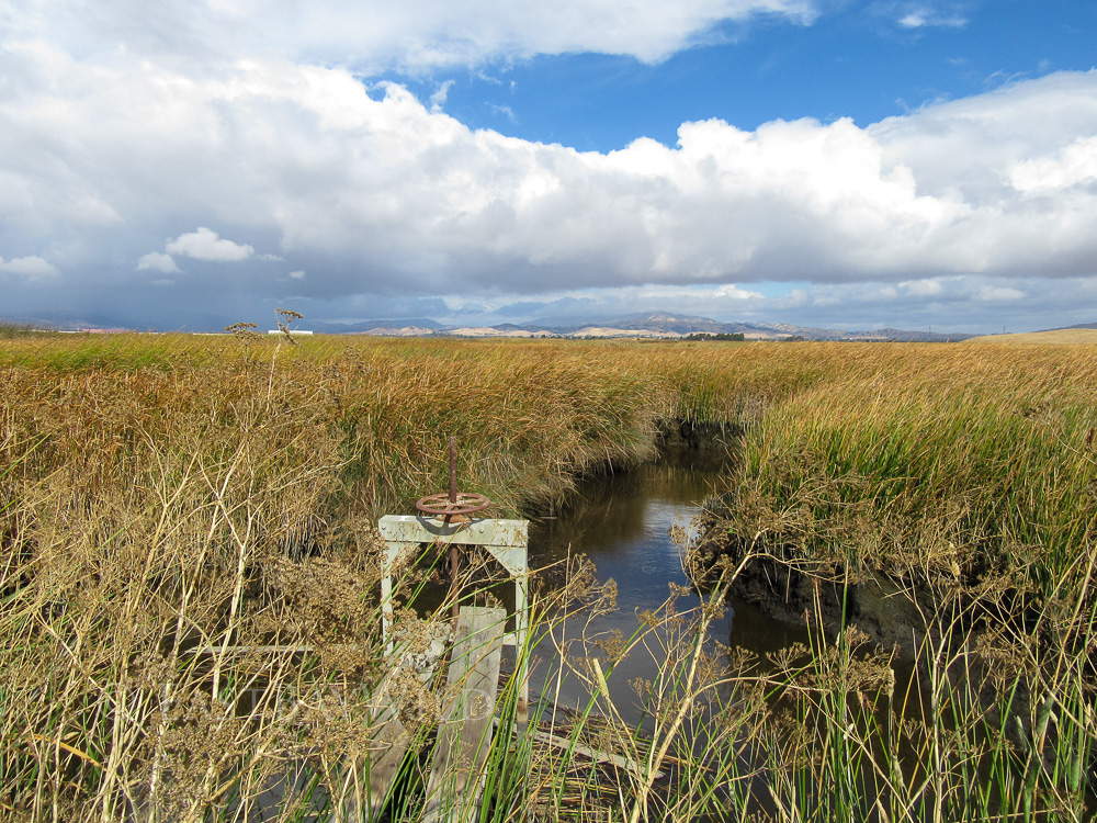
Proceeding towards the Suisun Slough, you’ll get a close look at the levee gates which are used to help control salinity levels and create an optimal habitat for water fowl. High tides cause the salty bay water to back up through the delta while high river flows can push the salt back down.
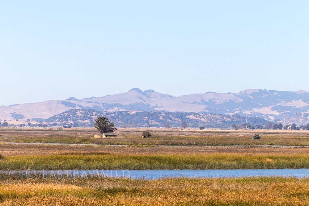
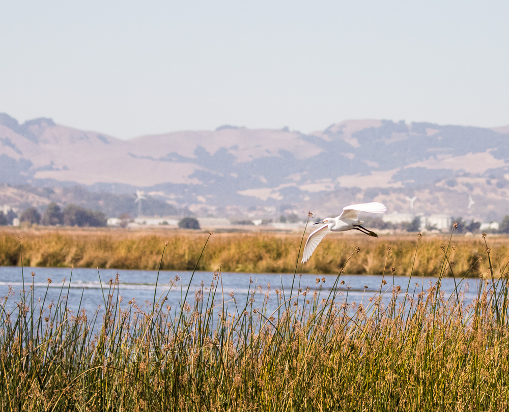
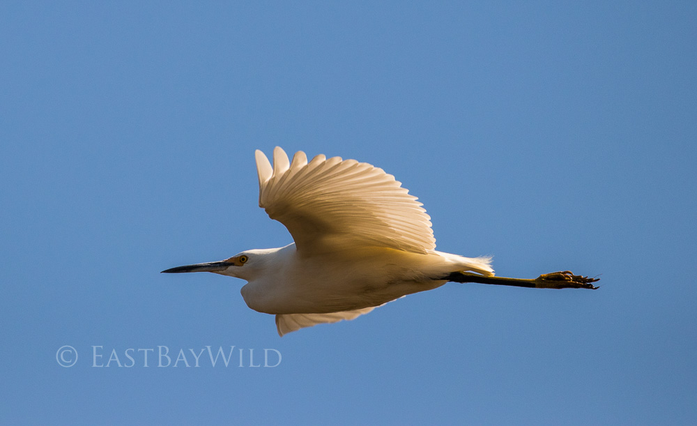
From here is a long stretch along the Suisun Slough. While boaters motor up and down the slough creating noise and wake, elegant birds can still be seen resting close to the shorelines or in flight.
Goat Island
About 3/4 of the way along the slough you’ll reach Goat Island, a small lump of earth in the middle of the marsh that’s slightly elevated leaving it drier with less vegetation. From here, the trail proceeds along the slough and hits the riparian zone where the reeds of the marsh come to an abrupt end and open grasslands take over. Turn left here to stay on the main trail, although the trail also goes right for about 100 ft.
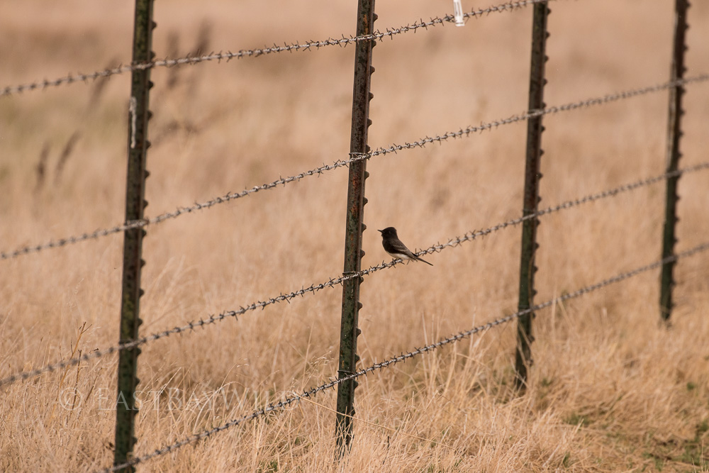
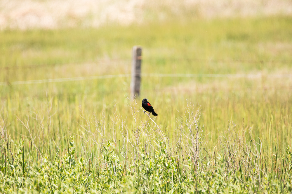
The barbed wire fence here is a popular spot for various birds to perch and observe trail goers.
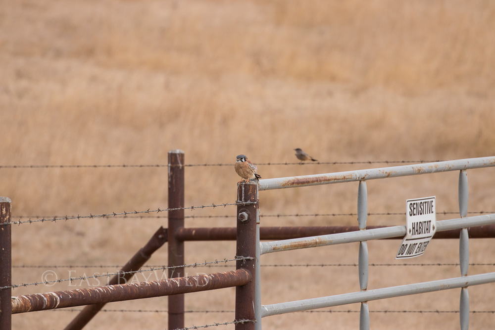
The grassland section of the trail offers good views all around where wildlife can be seen.
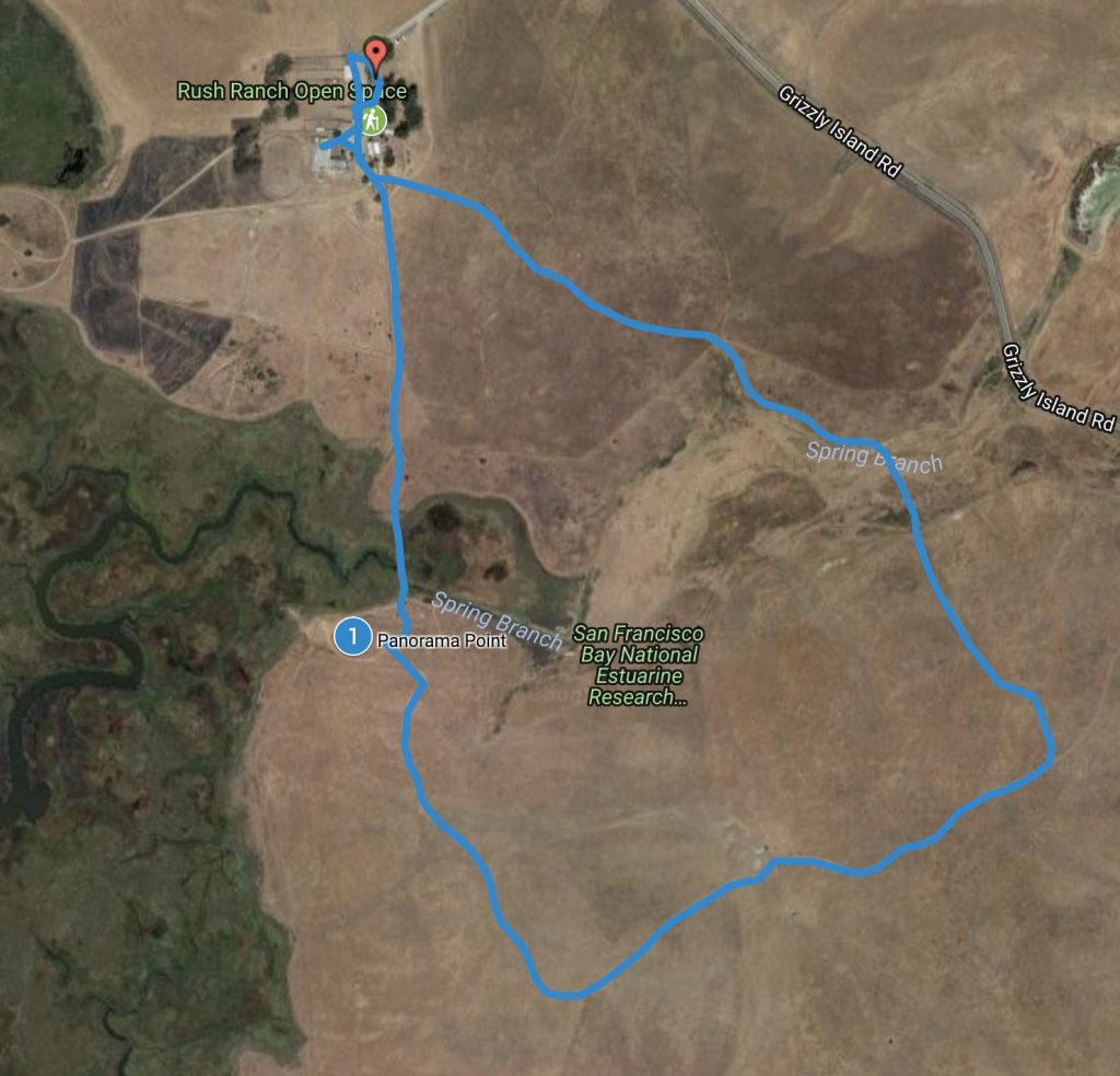
The South Pasture Trail
Total climbing: 102 ft
Length: 2mi
Time: 1.5 hrs
Difficulty: Easy
The south pasture trail offers a different loop with various vantage points of the marsh and surrounding landscape features. It consists of grasslands with a crossing over marsh land a small piece of the Spring Branch slough.
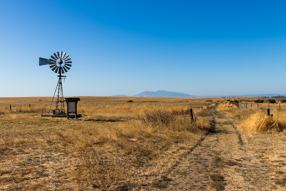
Start the loop at the windmill, just beyond the “boneyard”.
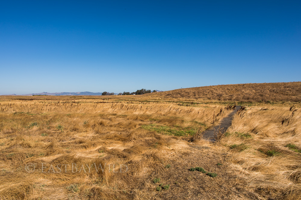
The first quarter of the trails passes over the greenest portions which traverse the Spring Branch slough.
Panorama Point
After passing through the slough is a split where the trail forks into a greater and lesser loop. If you turn off before the small hill, you’ll be taking the smaller loop. If you continue up the hill you’ll immediately hit the panorama taking stand where you can help participate in documenting the visual, historical changes in the marsh. Just below the hill is a Native American interpretive station.
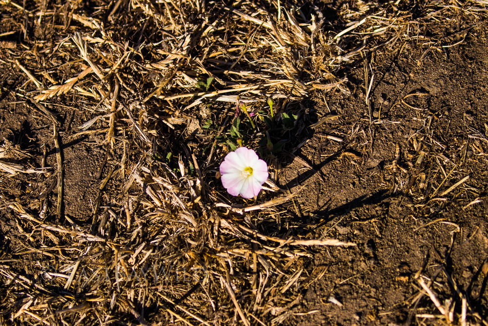
Continuing along the trail, you’ll proceed through grassy flat areas used for (as the trail name suggests) cattle grazing. Take a look at the ground every now and then and you’ll be surprised by a striking flower or two.
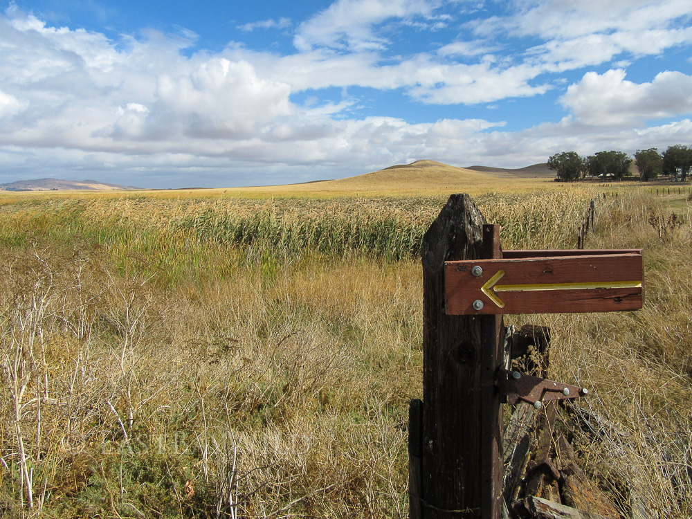
Though the trail is mostly well marked, some of the signs gave gone into disrepair. As a general rule, stay on the most clearly defined trail and look for benches.
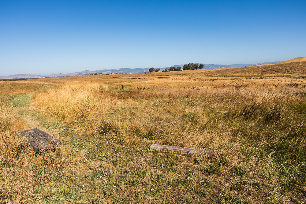
A second crossing back across the Spring Branch slough goes over a wooden ramp. The springy boards and missing pieces are a good indication care should be taken while crossing over.
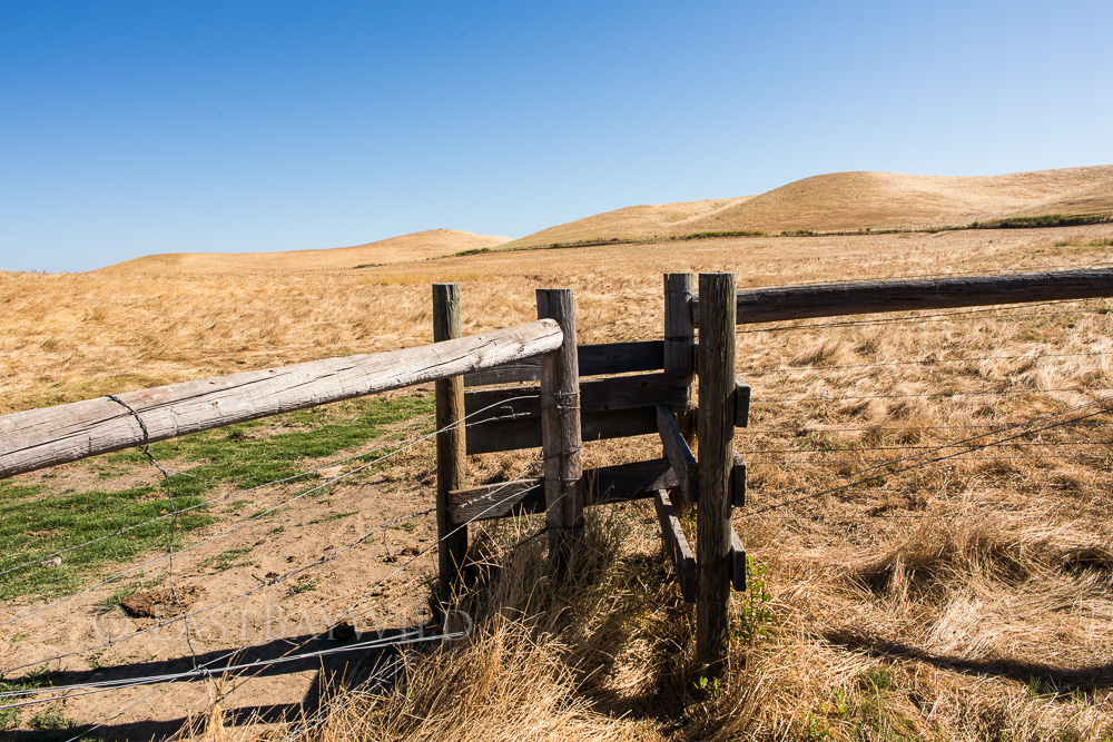
You also will come across seemingly impassable cattle gates: you’ll need to suck in the gut and squeeze through the zig-zag pattern.
The end of the trail arrives at the eastern side of the boneyard.