Crockett Hills – Soaring Eagle Trail
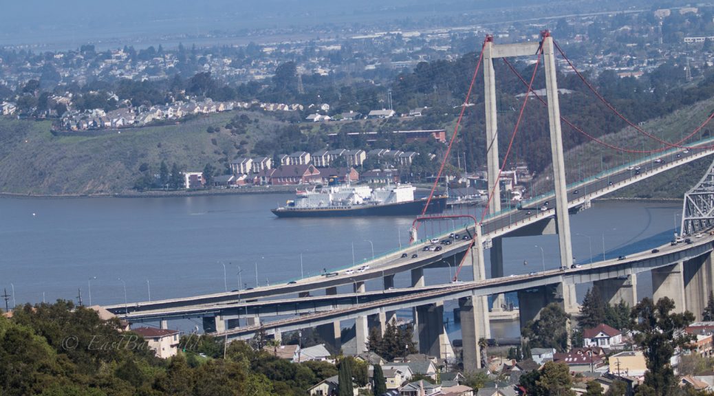
Little known Crockett, just below the Crockett Hills, on the south side of the Carquinez Straight is a little known town, rich in history as the headquarters of C&H Sugar Company. Up till 2017, The “California and Hawaii” Sugar Company shipped cane sugar from Hawaii into Crockett where it refined it for consumption across the rest of the country.
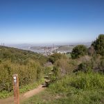
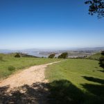
The hills rise just above the town, providing fine views of the Sacramento-San Joaquin delta and San Francisco Bay.
Total climbing: 827 ft
Crockett Hills Essential Info
Length: 3.2 miles
Time: 1.5 hours
Difficulty: Easy
Elevation Gain: 788 ft
Web Page: http://www.ebparks.org/parks/crockett_hills/
Hours: 8:00am-5:00pm (later in spring/summer)
Dogs OK
Getting There
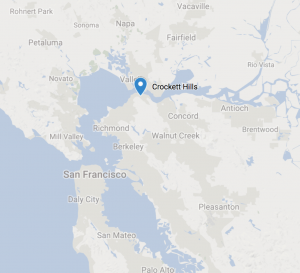 The Crockett Hills are located south of the town of Crockett which is just below the Carquinez Bridge. The hills are bisected by the Cummings Skyway (and some nav systems will erroneously direct you to an address off of this road) but the main entrance is off the much smaller Crockett Blvd.
Depending where in the Bay Area you’re coming from, you can either take 680 or 80.
From 680
To get there via 680, take 680N to Highway 4W. Exit at Cummings Skyway. Take Cummings Skyway for about 2 miles and turn right onto Crockett Blvd. After approx 2 miles turn left into the Crockett Hills main parking lot.
From 80
Take 80W and take the Pomona Street exit located right before the Carquinez Bridge.
Turn left onto Pomona Street towards Crockett. Turn right onto Crockett Blvd and after only a couple hundred feet, turn right again into the Crockett Hills main parking lot.
The Trail
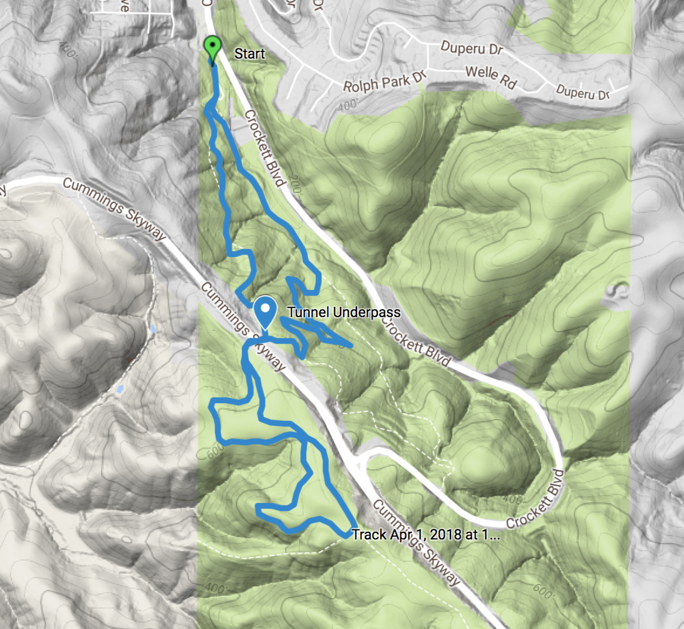
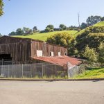
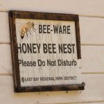
Starting out from the parking lot, you’ll pass an old barn and apiary on the way to the trailhead. Take the Crockett Ranch Trail and ascend up the hillside.
Checkpoint: Tunnel Underpass
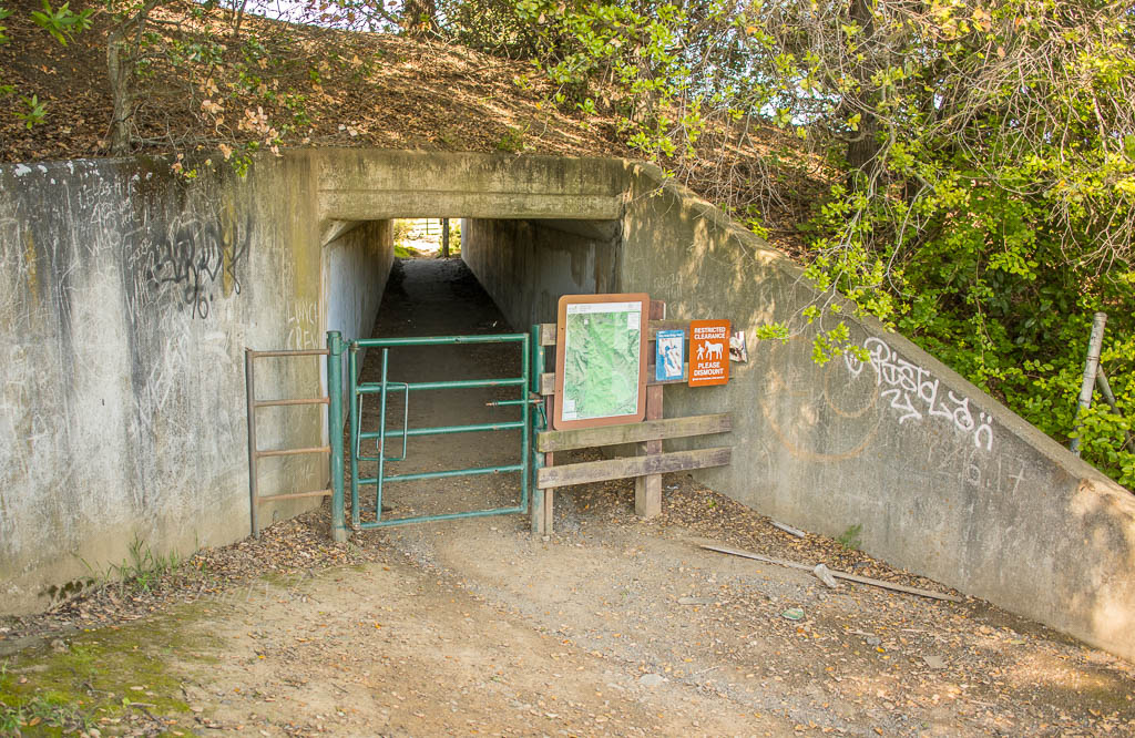
From the underpass, stay on the right side where the Soaring Eagle Trail will fork off.
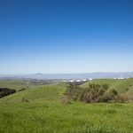
After traversing the hillside and passing by numerous westward vantage points, the trail will eventually intersect the Sky Trail.
Turn left on the Sky Trail to return to the underpass.
Once you go back through the underpass, turn right onto the Edwards Loop Trail which will ascend for a few feet before descending down to the Edwards Creek Trail and returning to the parking lot.
Nearby Alternates
Looking for more? Try out these close by areas:
One thought on “Crockett Hills – Soaring Eagle Trail”