Sunol Regional Wilderness – Ohlone trail to Rose Peak
Ohlone Wilderness Trail Essential Info
Length:19mi (to Rose Peak)
Time: 10hrs (to Rose Peak)
Difficulty: Hard (Elevation and Length)
Cost: $2 for a 1yr permit (available at the Sunol Regional Wilderness entry gate, comes with a map)
Facilities: Visitors Center and vault toilets.
Hours: 8AM-5PM (winter) 8AM-7PM (and later depending on month)
Dogs: $2 fee.
Parking: $5 per vehicle
More Info: East Bay Parks Website
The site says there’s no drinking water, but they often serve water out of drinking jugs near the visitor’s center.
Seasonal Note: Like many East Bay parks, Sunol Wilderness can be extremely hot and exposed during the summer. The longer hikes are best avoided during this time of year. Spring is the best time, offering wild flowers, flowing creeks, and milder temperatures.
Getting There
 Access the park via 680. From the South bay, take 680N to Calaveras/84-W off ramp and make a right onto Calaveras Road.
From the northern bay areas, take 680S to the Calaveras Road/84 Dumbarton Bridge exit. Make a left onto Calaveras Road. Note that the preceding exit is labeled “Sunol” and is not the correct exit.
Stay on Calaveras Road for 4.3 mi. Along the way, you’ll come across a couple of plant nurseries, a construction aggregates facility,and a water treatment plant along the southern side of the road. The road is also popular with bicyclists.
At approximately 4.3 mi, make a left onto Geary Road. At the time of this writing, Calaveras Road is closed beyond Geary road making this turn really hard to miss.
Geary Road will eventually lead to an entrance gate and ranger booth that will provide a park map in exchange for the vehicle entry fee.
The Trail
Note: Bring plenty of drinking water or a filter. There are water spigots at camp spots along the way but they only provide untreated water.
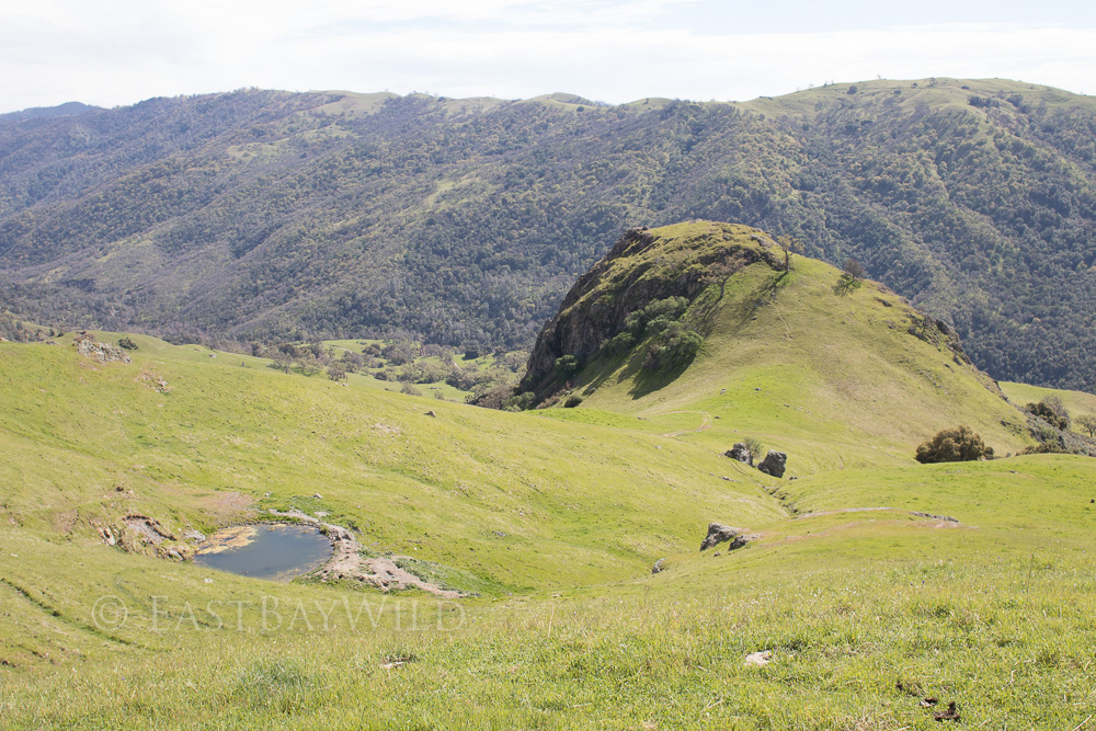
The Ohlone Wilderness Trail is a 29.1 mile trail that runs from Mission Peak in Fremont to Del Valle Lake in Livermore. From Sunol, a popular goal is Rose Peak which is the highest peak in Alameda county at 3817 ft (Mission Peak is only a paltry 2516 ft). An alternate day trip on the Ohlone Wilderness Trail is a 12.3 mi. hike that starts from Del Valle Lake to see the Murieta Falls in the spring time.
Unless you’re planning to camp, this trail is strictly an in-out trail. Hike as far out as you desire, taking time to return into consideration.
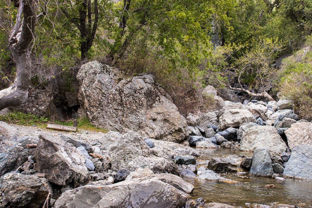
Start this hike from the horse corral parking area near the visitor’s center where there’s a sign-in sheet for the Ohlone Wilderness Trail located at the information panel. Take the bridge across Alameda Creek and make a right onto the Canyon View trail. Veer left and ascend onto the McCorkle Trail. Follow this trail for about 2.5 mi where you’ll hit the Sunol Backpacking Camp Area.
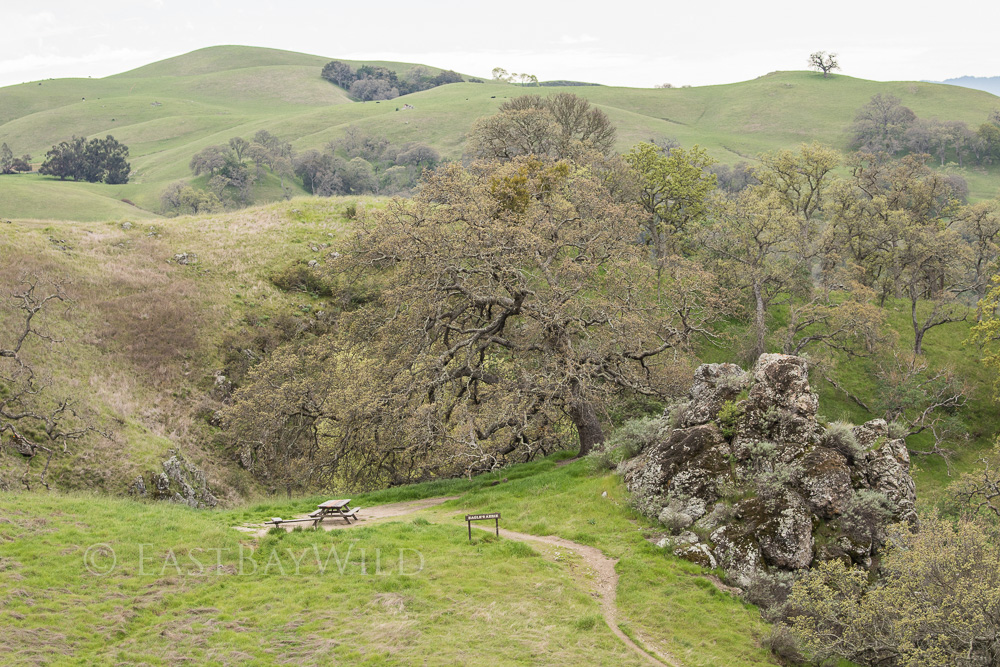
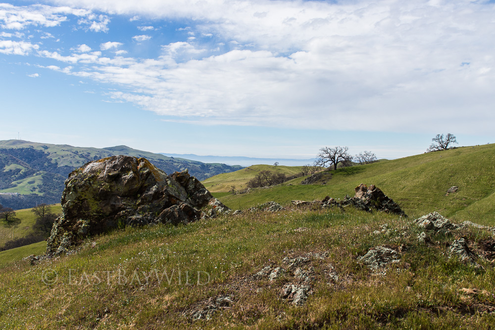
From here the Ohlone Wilderness trail will bring you up and down through an isolated back country and magnificent landscape.
You must be logged in to post a comment.