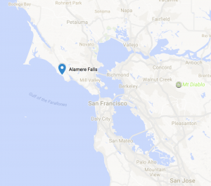
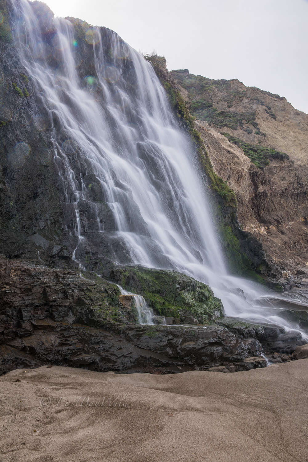
Alamere Falls in Point Reyes
Following the rainy season and last month’s Big Basin’s Berry Creek Falls, we took a visit to the north side of the bay to the Alamere Falls in Point Reyes National Seashore. This easy-moderate hike, follows the California coast line past two pristine lakes and finishes with the gentle Alamere creek cascading down into the ocean.
Total climbing: 2024 ft
Essential Info on Alamere Falls
Distance: 8 miles in and out
Time: 4 hours
Elevation gain: 2100 feet
Difficulty: Easy hike but some rock climbing necessary to get to the beach to view the lower falls.
Website: https://www.nps.gov/pore/planyourvisit/alamere_falls.htm
Dogs and bikes not allowed.
Parking can get crowded at the Palomarin Trailhead. Arrive early to beat the crowd!
Getting There – Palomarin Trailhead
Note: As of this writing, parts of Highway 1 are closed and a detour route along the Panoramic Highway is the primary way of getting to areas along Highway 1 north of Stinson beach.
Alamere falls is reached via the Palomarin Trailhead located in the Bolinas region of Point Reyes National Seashore.
To get there from the East Bay, take 680N to 24E. Then take 580W and cross the Richmond Bridge.
Exit Sir Francis Drake Blvd. Stay in the left hand lanes to merge onto 101S.
From 101S, exit 1N. Take 1N and then veer right to take the Panoramic Highway (towards Muir Woods). The Panoramic highway will twist and turn for about 9 miles where it hits Highway 1 just shy of Stinson Beach.
Proceed along highway 1N for about 5 miles and turn left at Fairfax Rd towards Bolinas. You’ll then make another left at Olema Bolinas Rd.
Continue on Olema Bolinas Rd for about a mile (you need to make a left to stay on the same road), and then turn right at Mesa Rd. Mesa Rd will bring you to the Palomarin Trailhead. Note that the last couple miles consist of a dirt road that is mired in pot holes. You’ll be better of leaving the Ferrari home for this trip.
The Alamere Falls Trail
Note: The trail described here is the popular route that is not officially recommended by the National Park Service due to the need to scramble down the seaside cliff. The official route via Wildcat Camp adds a few more miles (depending on route to the camp), requires timing with the tide during the winter/spring seasons, and misses out on the upper falls (unless you scramble up the cliff in which case you might as well take the unofficial route).
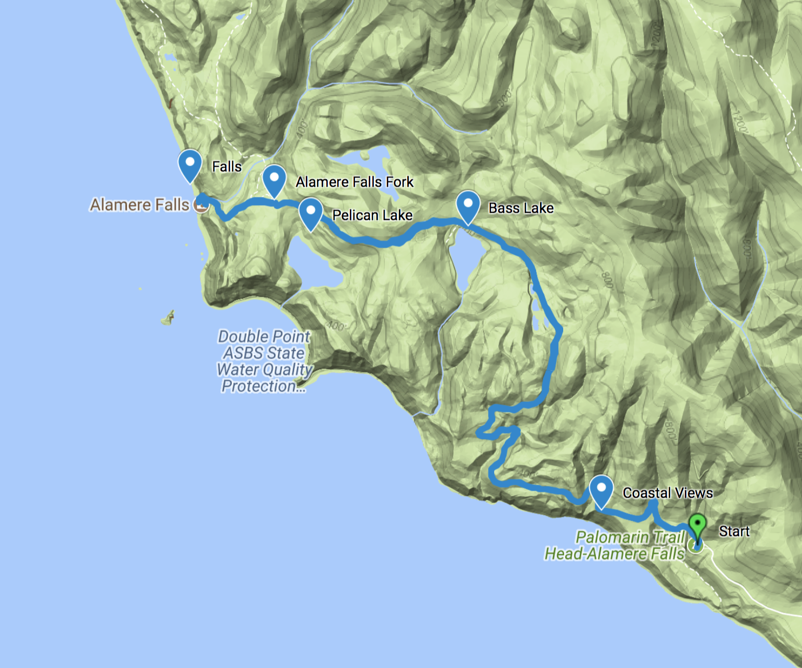
Checkpoint: Start
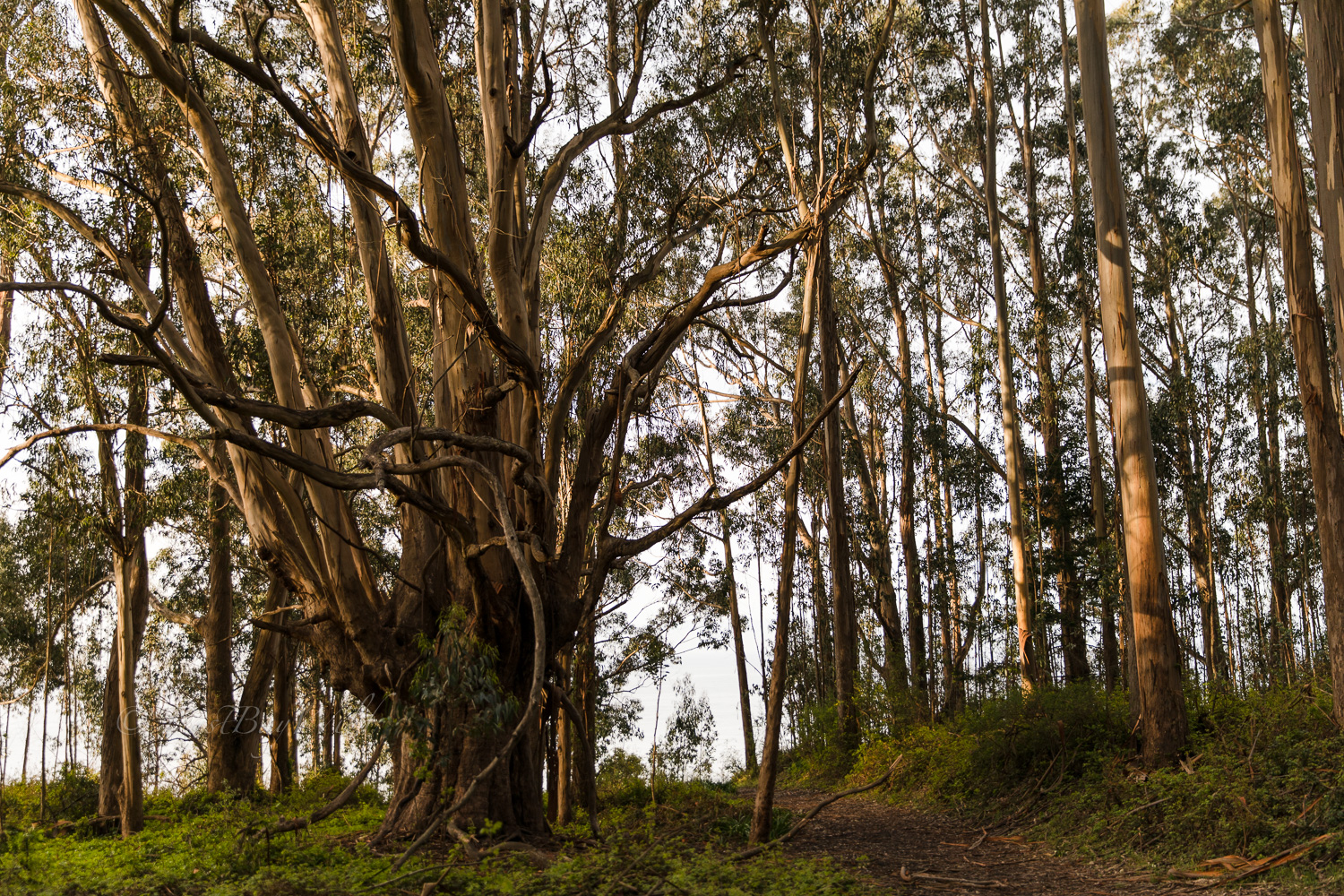
The trail begins at the Palomarin Trailhead parking lot which has bathrooms but no potable water. Take the Coast Trail on the north end of the parking lot.
A grove of Eucalyptus trees will immediately greet you at the beginning of your journey.
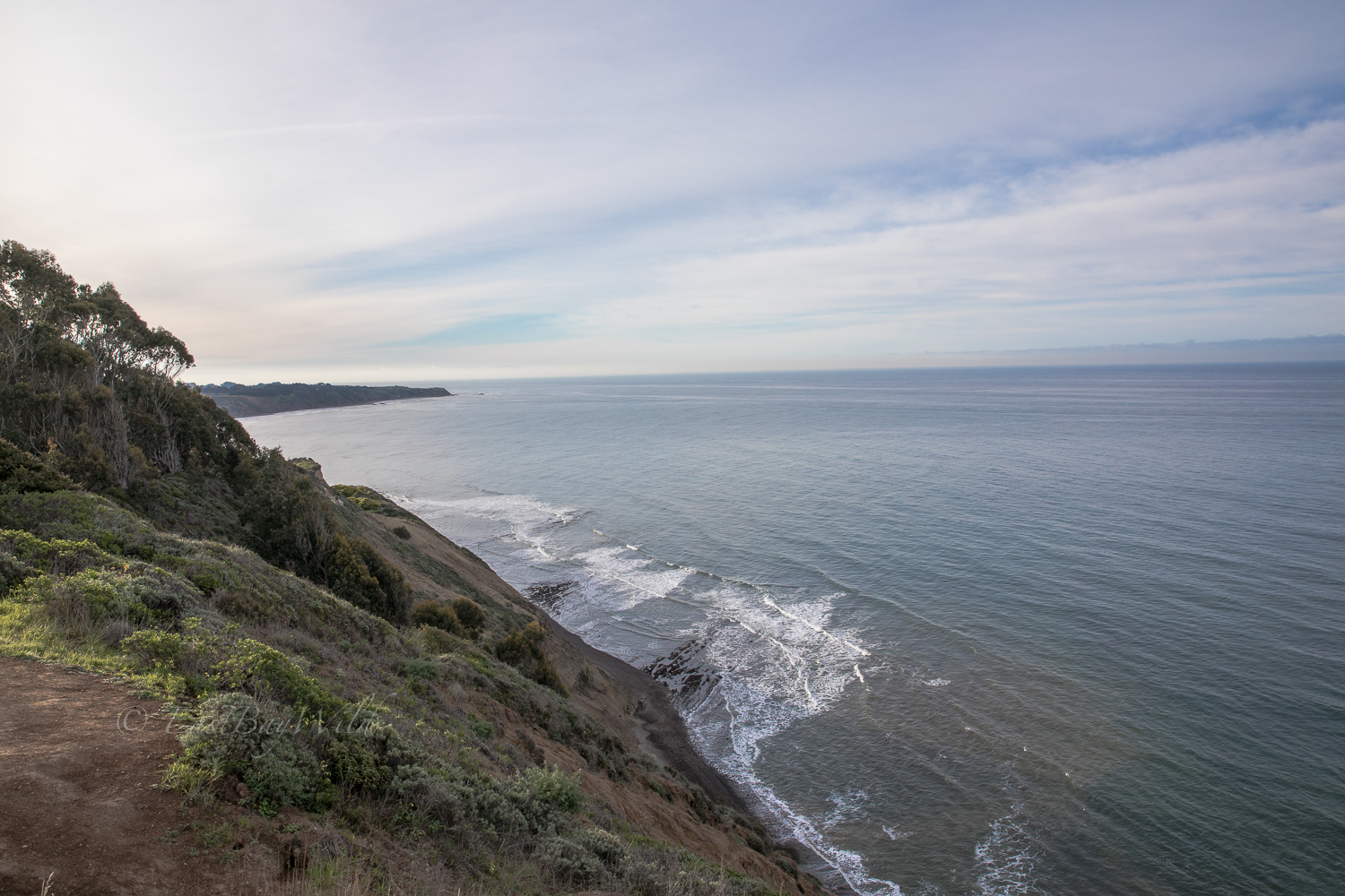
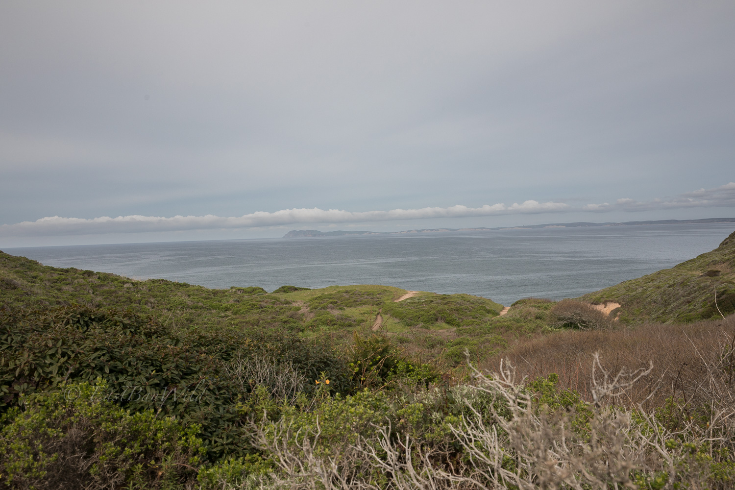
Checkpoint: Coastal Views
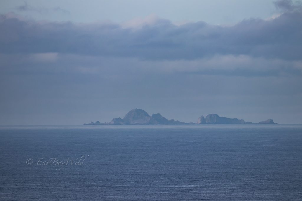
After emerging from the trees, the field of view will open up across the Pacific Ocean. The trail will skirt the tops of cliffs which offer views of the coast. On a clear day, the Farallons will be visible in the distance.
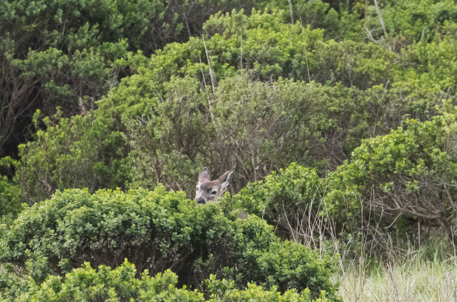
Through the chaparral, deer forage and are largely unfazed by passing hikers.
Veering from the coast, the trail will turn inland.
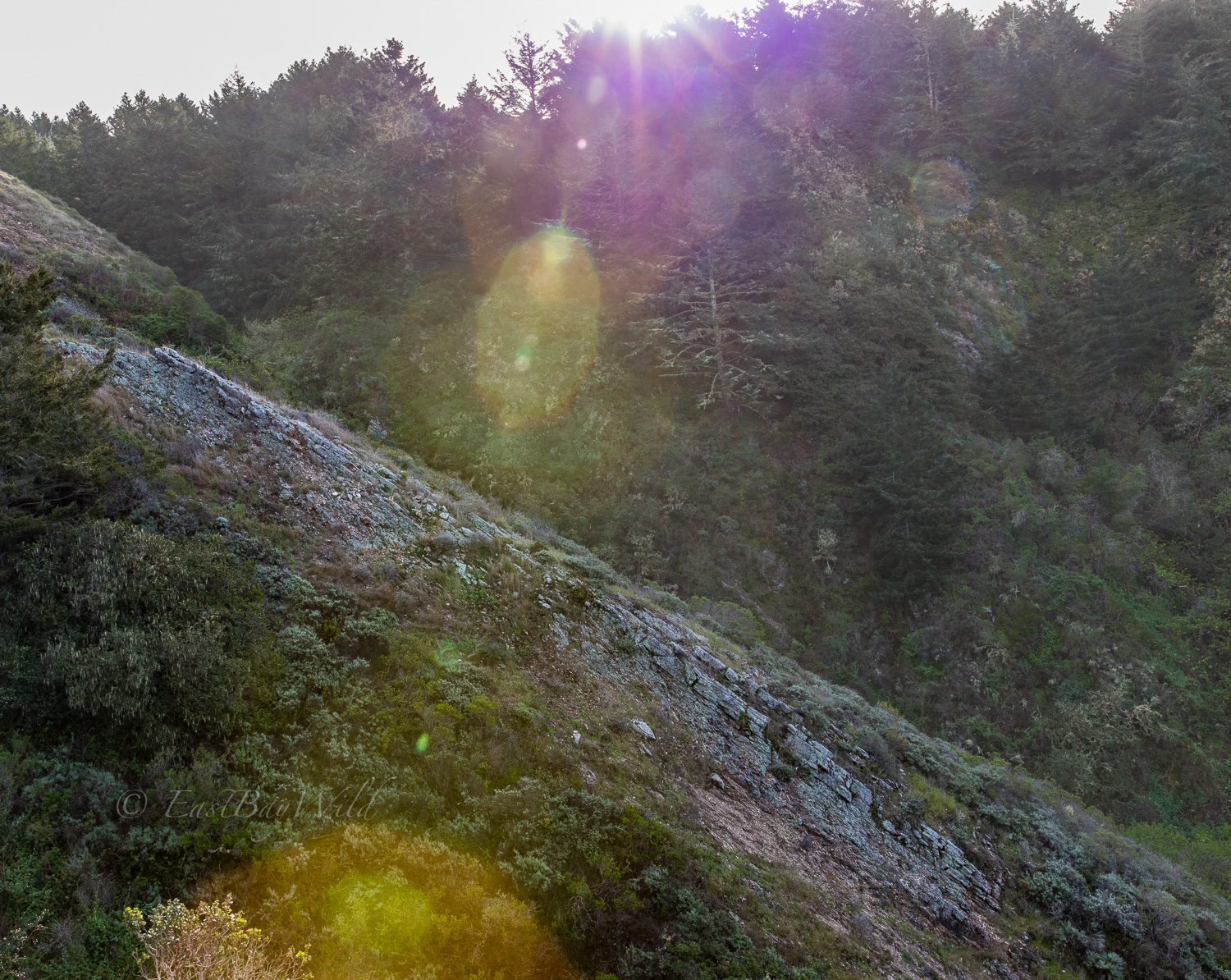
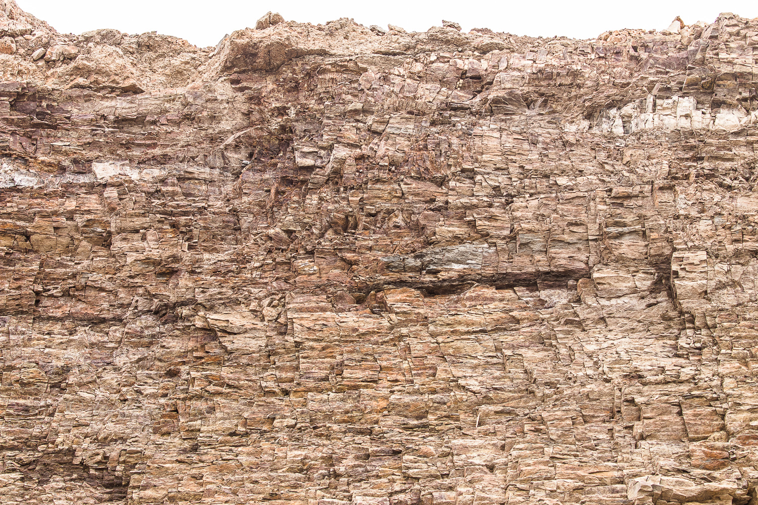
Evident along the beaches and throughout the National Seashore, Point Reyes is a geologic treasure trove. As the famous San Andreas fault helps tear the peninsula from the mainland, upward thrusts of land expose sedimentary layers built up over eons.
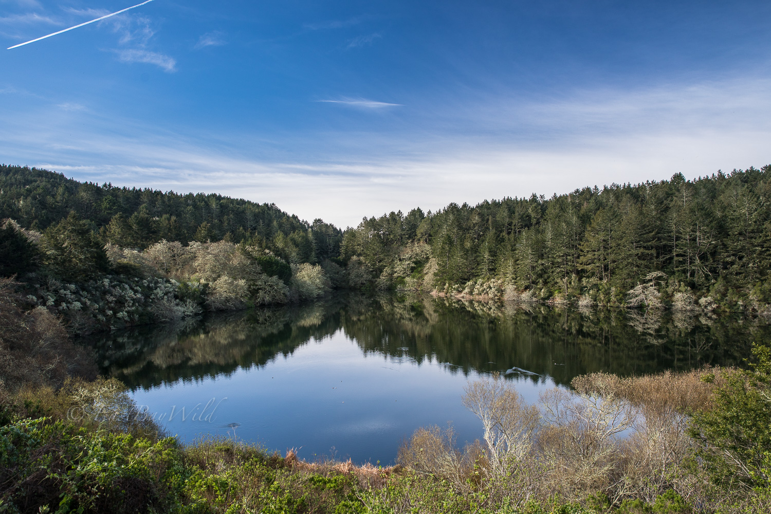
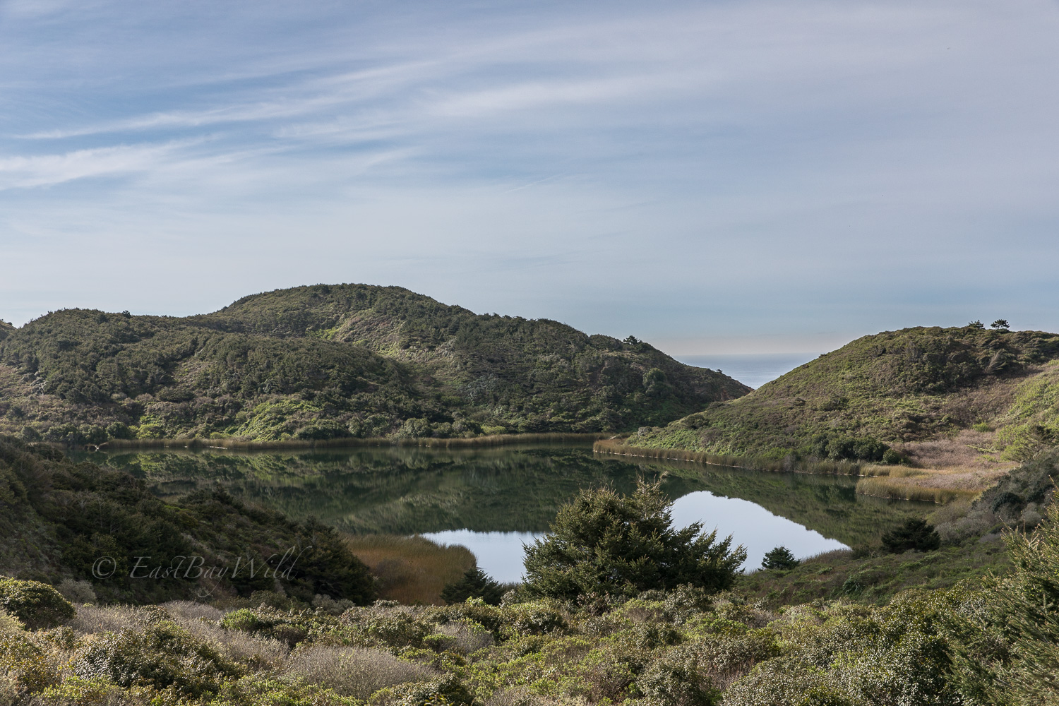
Checkpoint: Bass Lake
Along the west side of the trail, Bass Lake will come into view. A popular spot for swimming, it once used to have a mounted rope swing to aid in plunge takers. Alas, the tree has fallen and the rope swing is no more.
Checkpoint: Pelican Lake
Checkpoint: Alamere Falls Fork
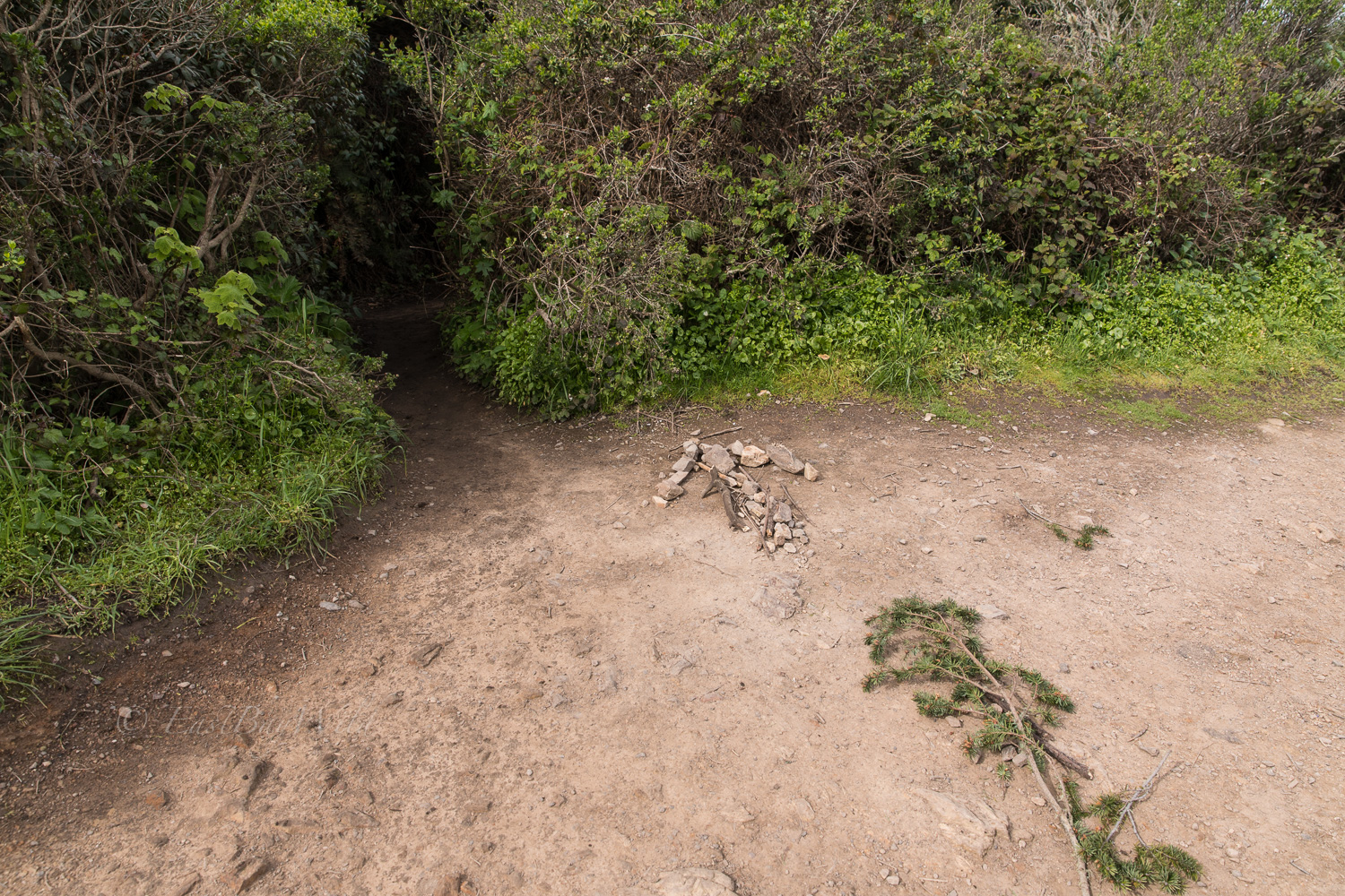
Kindly hikers sometimes mark the turn off with rocks and branches. Note that this is the unofficial route to Alamere Falls which involves scrambling over a rocky cliff. Ignoring the turnoff and proceeding down the official trail will bring you to Wildcat camp from which you can also hike down the beach to the falls; however, you’ll miss the upper falls which are above the cliff face.
After a short section navigating through shrubs and brush, the ocean will come into a view.
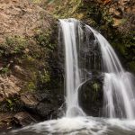
Checkpoint: Falls
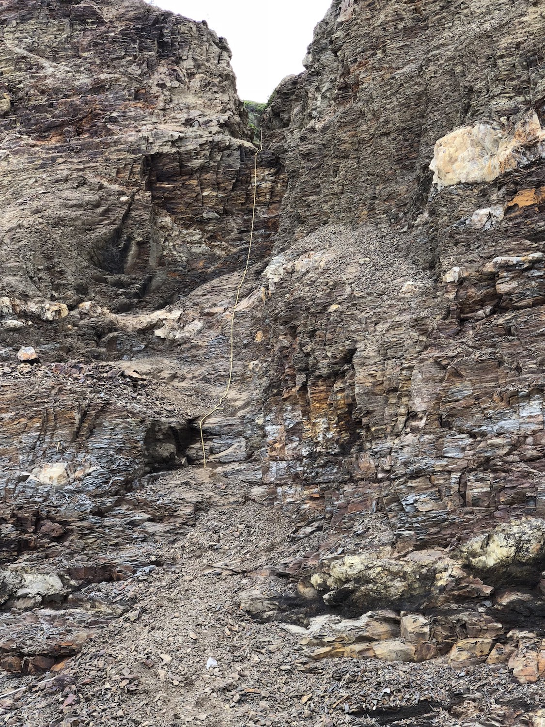
After descending through a deeply eroded channel, you’ll hear the gushing waters of Alamere creek and the upper falls.
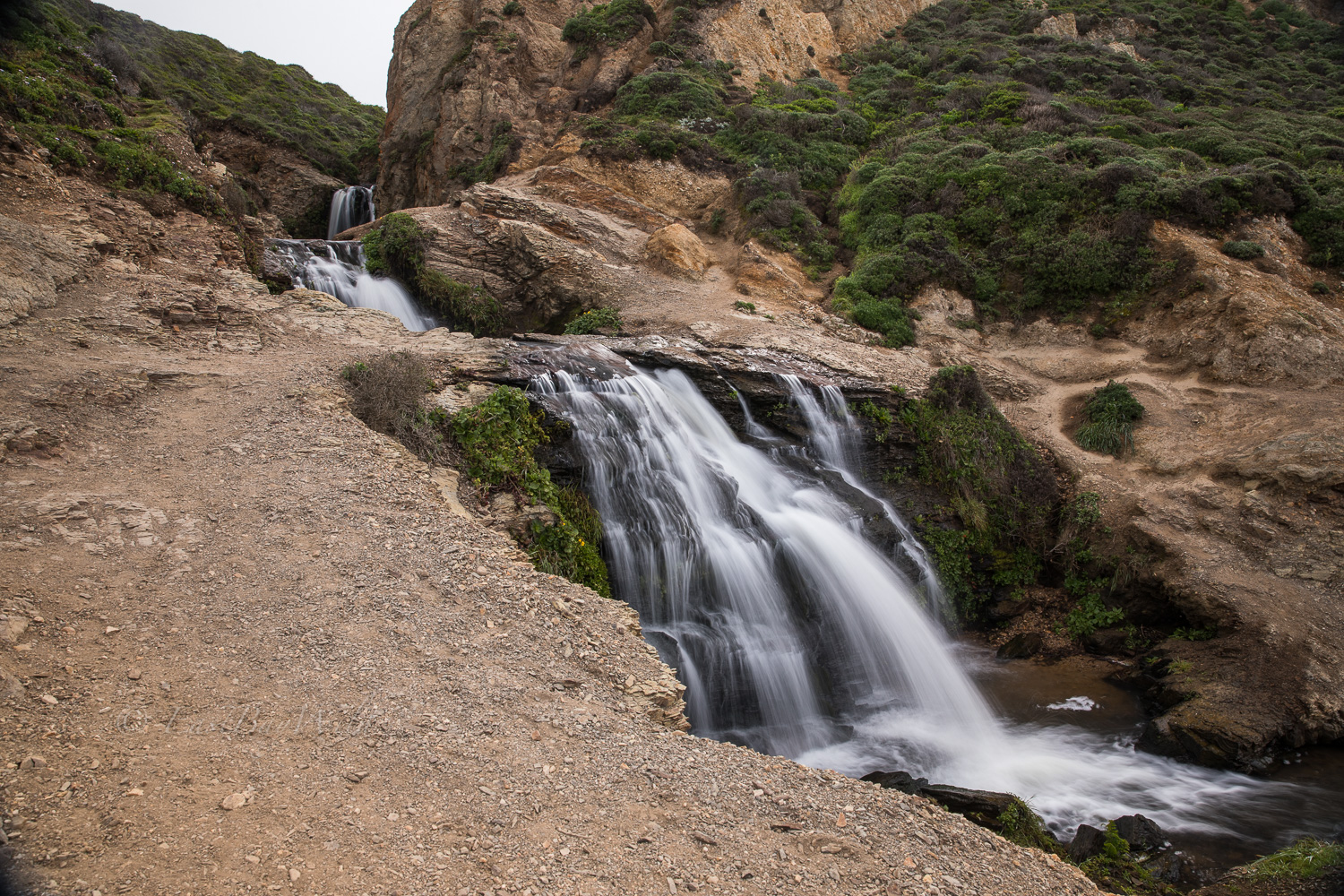
This is a popular spot to take a lunch break and gaze at the mesmerizing waters as they disappear over the cliff edge.
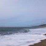
Wildcat Beach and the Lower Falls
Now comes the tough part. The cliff edge is composed of a loose rocky shale which makes it extremely unstable!
Luckily, a few generations of daring hikers have shorn a narrow path down the cliff. At times, a rope is available to help stabilize your ascent/descent.
Celebrate your success with the amazing views of Alamere Falls!
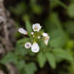
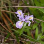
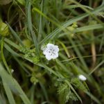
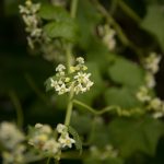
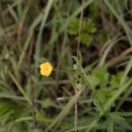
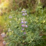
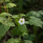
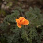
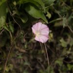
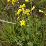
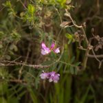
Return along the same route. On the way back, stop and smell the flowers!
You must be logged in to post a comment.