Big Basin Waterfalls – Berry Creek Trail
Winter rainfall brings water and life to waterfalls. For the President’s day weekend, we ventured down to the South Bay to hike through redwoods and view the Big Basin waterfalls along the Berry Creek trail. Featuring Berry Creek Falls, Silver Falls, and the Golden Cascade this is definitely one of the better hikes in California’s oldest state park.
Note that the Big Basin brochure labels this hike as strenuous. While it’s certainly long and has a couple of narrow spots, it’s not too bad and would rank as easier than Mission Peak.
Total climbing: 4580 ft
Note: The iPhone GPS seems to have had some issues recording. Ignore those 0ft elevation dips on the gps track ?
Essential Info on Big Basin Waterfalls
Length: 10mi
Elevation Gain: ~2400ft
Difficulty: Moderate (due to length, some incline)
Time: 6hrs
Fees: $10 (Day Use), $35 (Camping)
Day Use Hours: 6am-sunset
Website: http://www.parks.ca.gov/?page_id=540
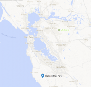
Map
Getting There
Despite being in the vicinity of San Jose, it still takes about 1hr from Saratoga Ave due to the narrow windy roads. From the East Bay, plan for about 2 hrs.
The simplest way to get there from the East Bay is to take 680S till it passes 101 and becomes 280N. Exit Saratoga Ave and proceed southwest (turn left if coming from 280N) towards Saratoga. From here, over a span of 15mi you’ll pass a variety of landmarks including the Westgate shopping center, West Valley College, downtown Saratoga, the Mountain Winery and the Hakone Gardens.
You’ll hit a four way stop at Saratoga Gap and another at the Highway 9/236 split. Go straight through both of these. The road will eventually narrow on Highway 236 (Big Basin Way) as you approach the state park. You’ll eventually pass through the visitor center on the left and the parking lot on the right.
The Trail

On some friendly advise from the visitor’s center, we did this popular hike clockwise. We went first to Skyline trail, to the Berry Creek Falls trail, and then returned on the Sunset trail
Checkpoint: Visitor’s Center
The visitor’s center is where you’ll park, pay the day use fee, and get a trail map. There’s also no bathrooms along the trail so it’s generally a good pitstop after a long drive.
From here, find the Skyline trailhead just behind the main parking.
Checkpoint: Detours
During our hike, we encountered a detour in the Skyline trail, likely due to trail damage from the previous season. The detour is short, proceeding up Middle Ridge Road, making a left onto the Sunset trail, and then taking the Skyline connector to get back onto the Skyline trail. Note that the connector trail is the starting point of the loop; you’ll come back to this point from the other direction along the Sunset trail.
From here, enjoy the serene walk along Kelly Creek.
Checkpoint: Logjam (Timm’s Creek Trail)
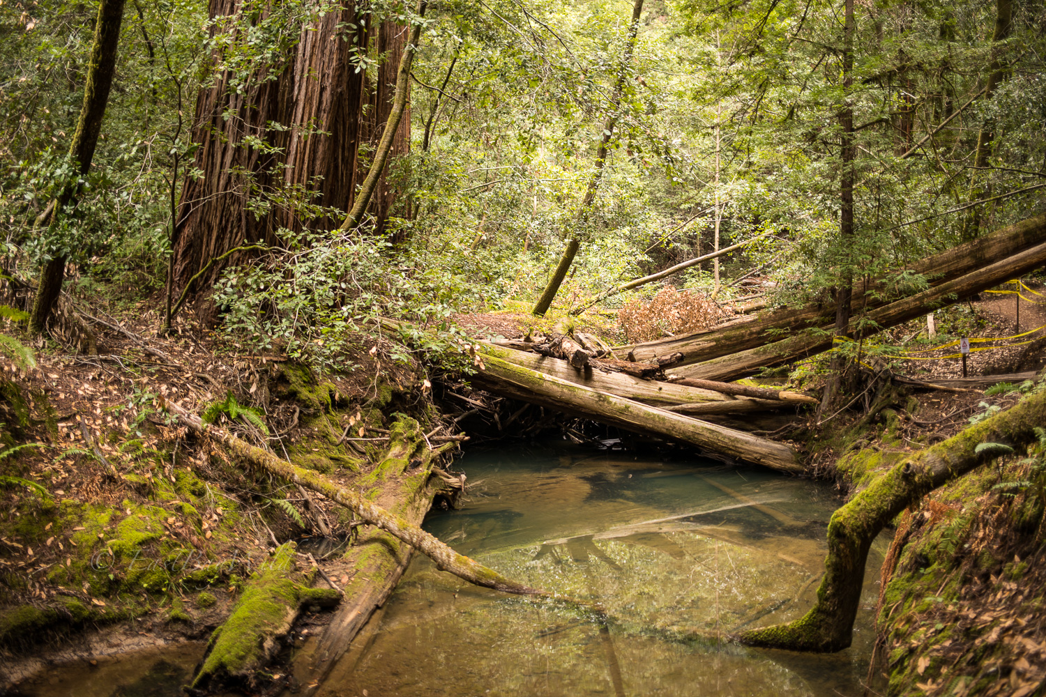
Timm’s Creek Trail was closed as we passed by, likely due to more prior season storm damage. Remnants of last year’s massive rains can be seen along the creek in the huge pile up of downed trees.
Proceed along Skyline trail to the junction with Berry Creek Falls Trail.
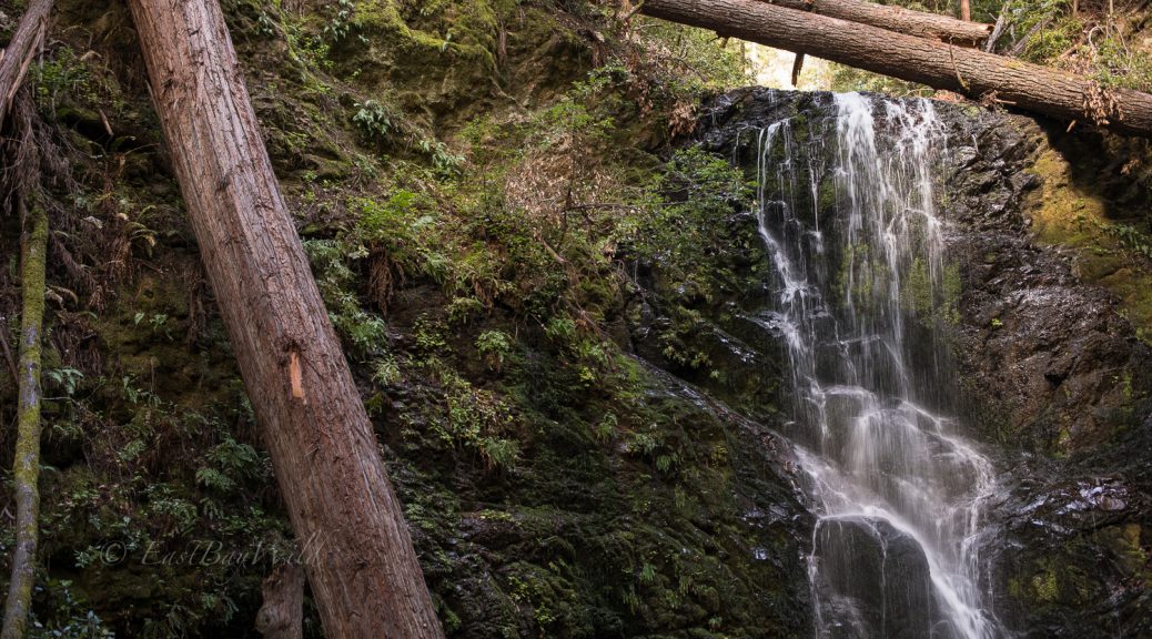
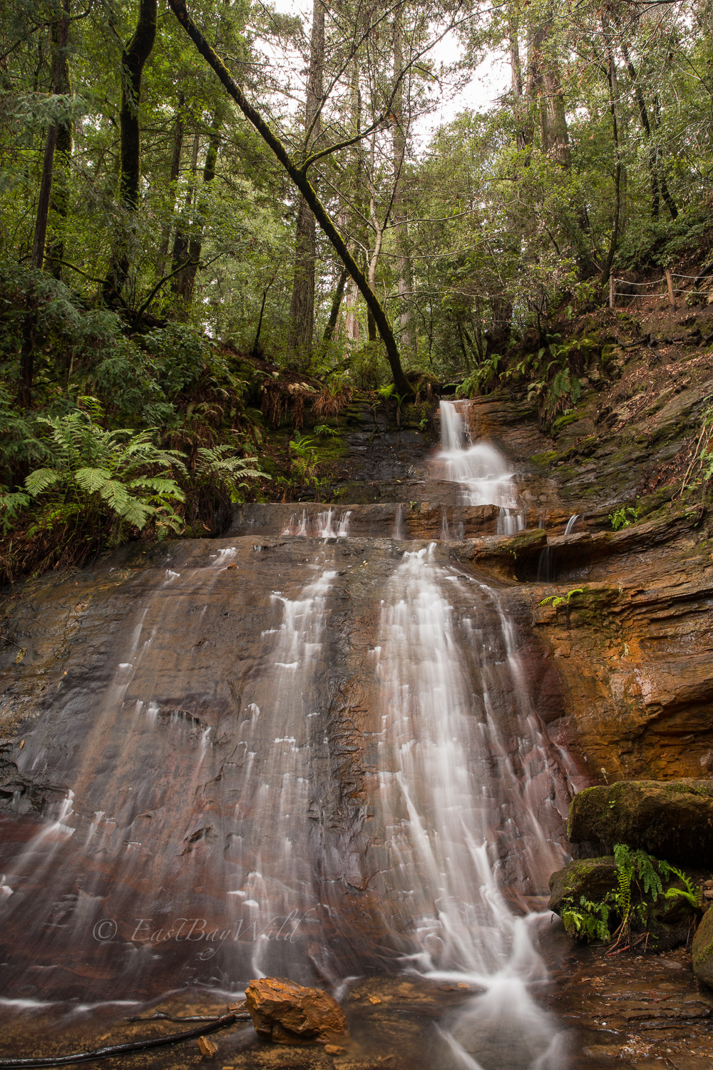
Checkpoint: Berry Creek Falls
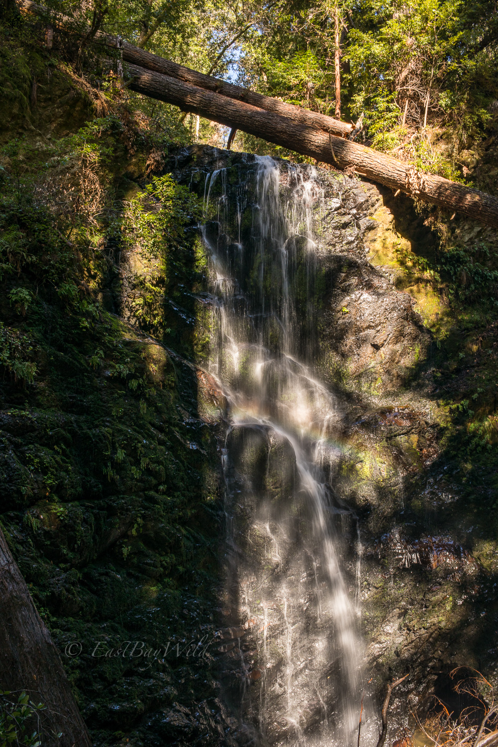
Just after the Skyline trail junction, you’ll come upon the craggy cliff of Berry Creek Falls. There’s a large seating area situated with a great viewing angle that’s a great place for lunch or a lingering snack.
The trail continues up to the top of the falls and along West Berry Creek to Silver Falls.
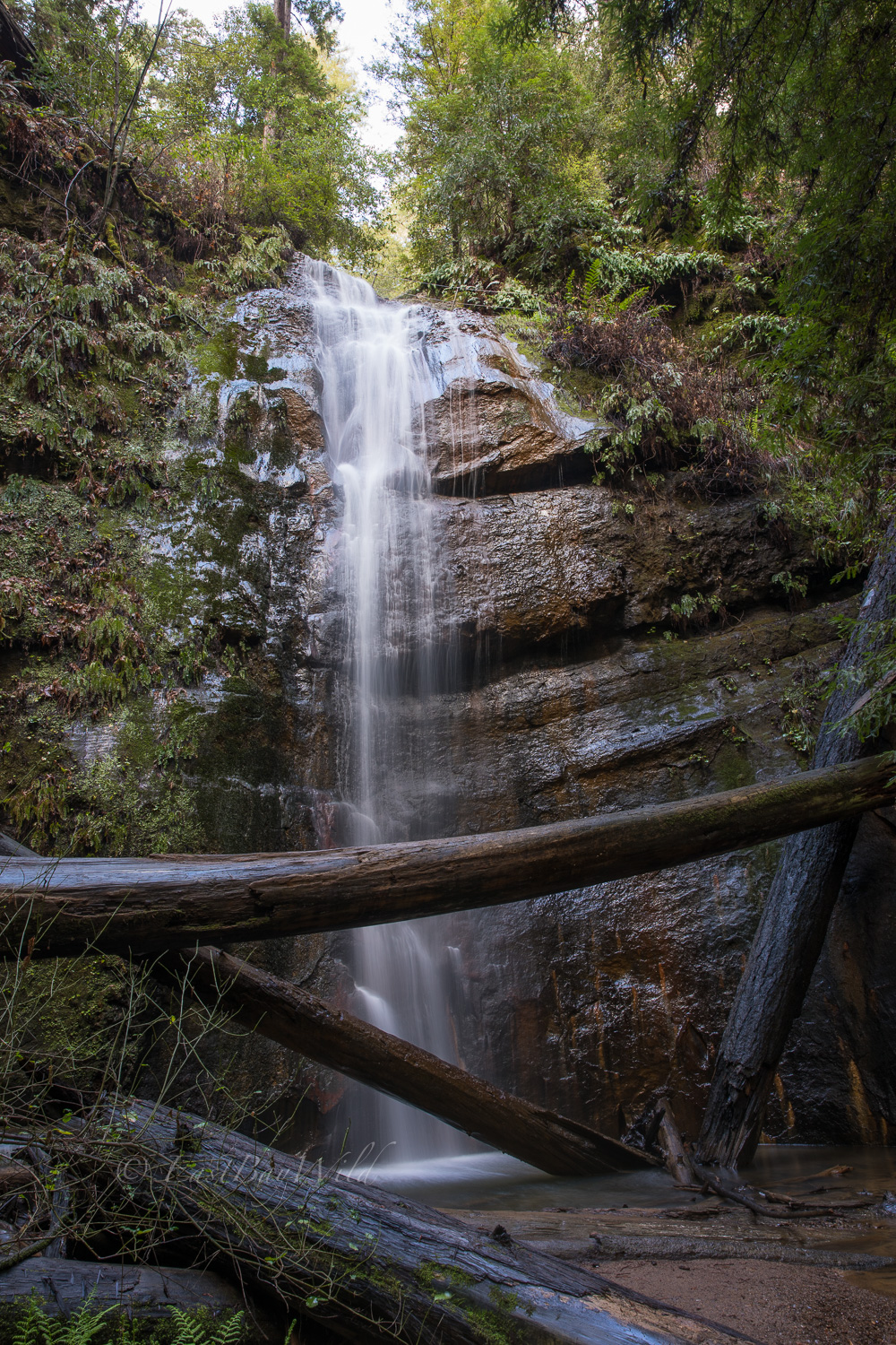
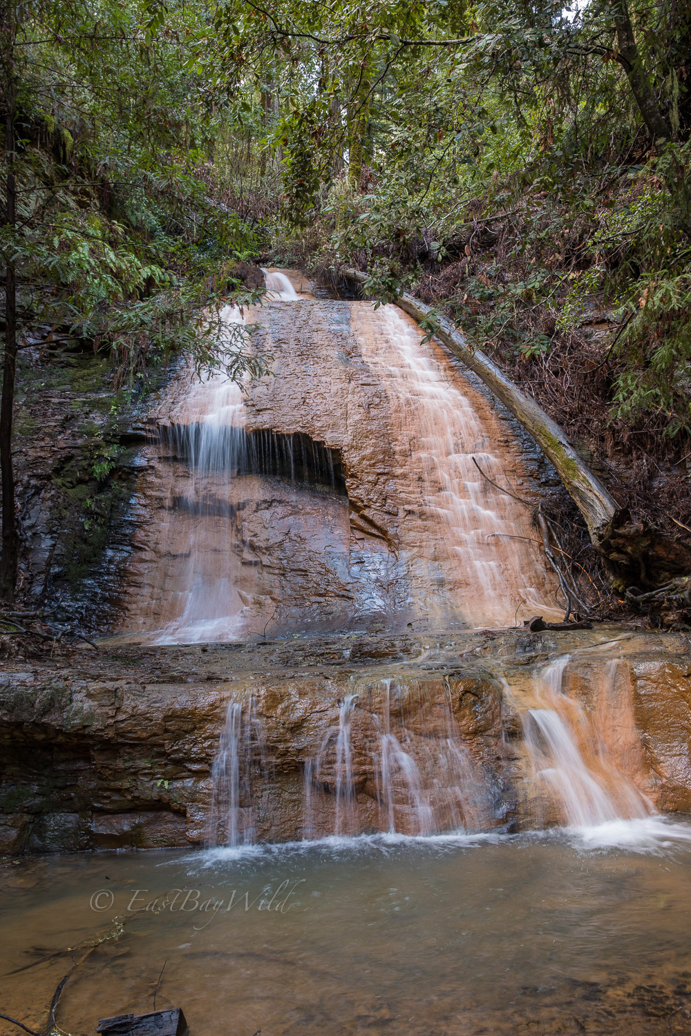
Checkpoint: Silver Falls
Silver Falls, though smaller than the Berry Creek Falls, is no less majestic.
Moving up the trail, you’ll walk by a narrow section past the top of Silver Falls before arriving at the lower Golden Cascade.
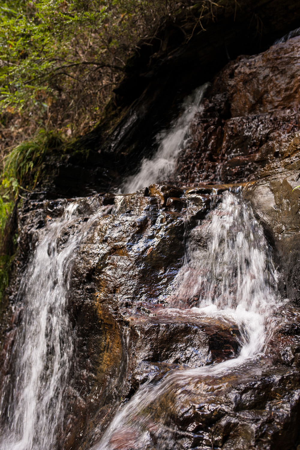
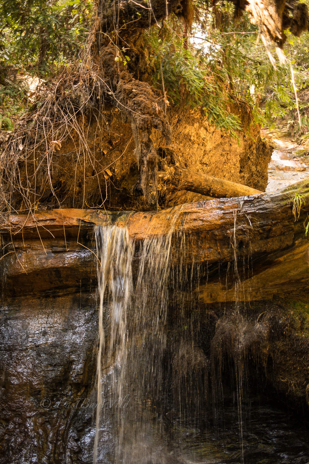
Golden Cascades
The Golden cascades are a series of steep descents where waters of West Berry Creek rush over golden colored shale rock. Because we’re doing the hike clockwise, we encounter the cascades in the reverse order.
The third cascade is a mini waterfall which drops about 10 feet into a pool of water.
The second cascade, forms a stair-step type pattern for water to trickle down.
And the first cascade is a relatively smooth one, allowing a glistening sheet of water to pass.
Return Hike
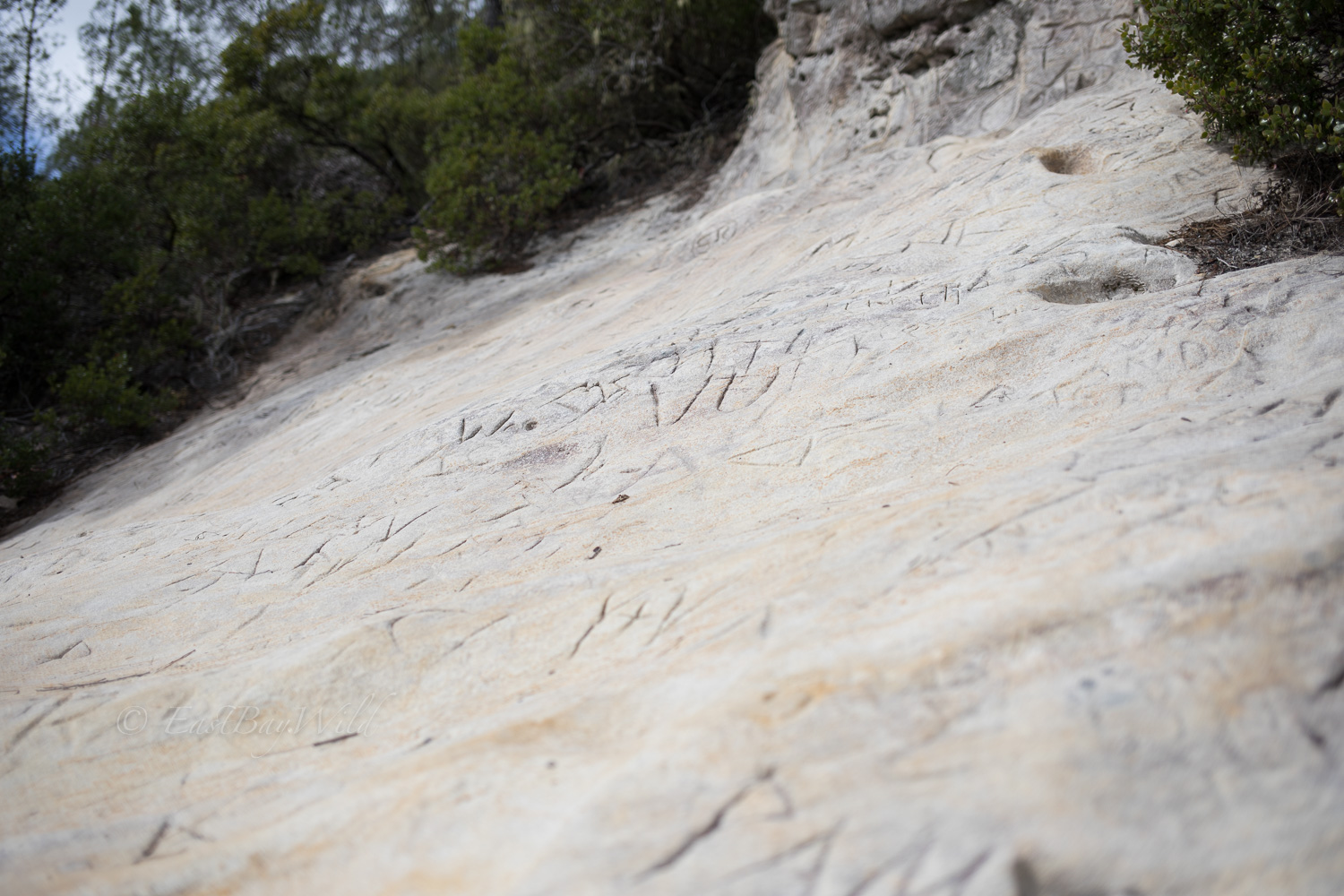
The return trip will take you on a quick ascent above the redwood tree lines with surrounding knobcone pines, and slick sandstone ground.
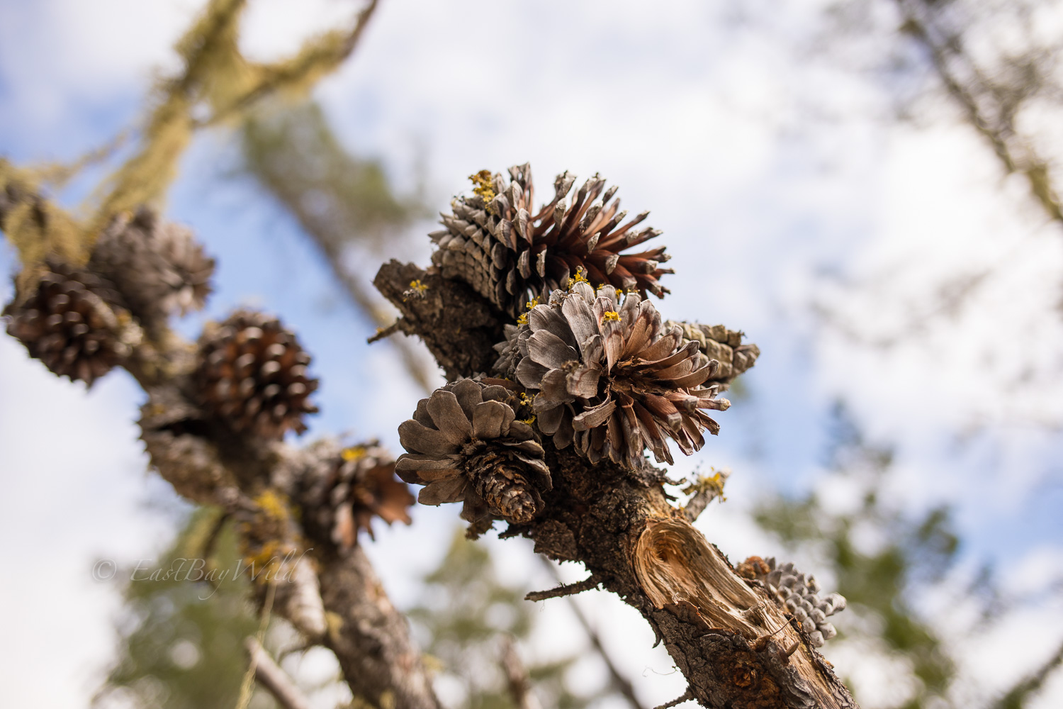
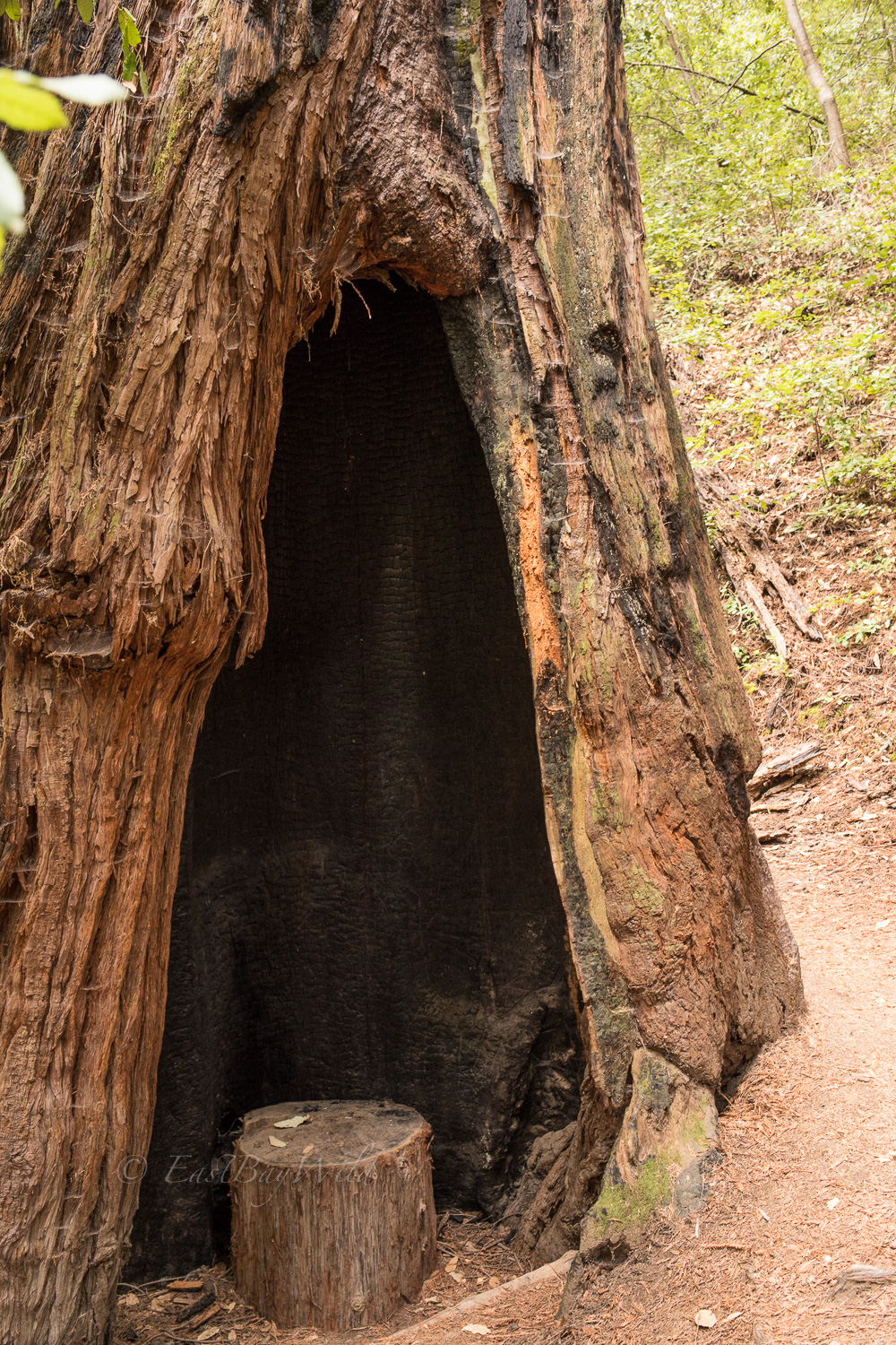
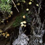
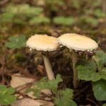
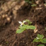
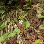
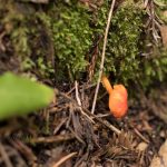
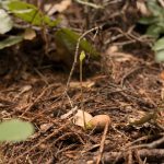
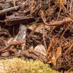
While on the return trip, take your time to enjoy the various flora and fauna of Big Basin!


2 thoughts on “Big Basin Waterfalls – Berry Creek Trail”