Uvas Canyon County Park – Contour Trail
Total climbing: 3425 ft
Waterfall Dreamland
Taking advantage of the spring rainy season in the Bay Area, we swing back down to the Morgan Hill to visit the secretly nestled Uvas Canyon County Park. Here, the waters of Swanson’s creek undulate over a steep rocky bed to create numerous waterfalls ending with one last plunge merging into Uvas Creek.
Uvas Canyon has been closed for most of the year due to road damage from last year’s deluge of rain. Luckily, right after the recent “atmospheric river” passed through the Bay Area dumping 5 inches of rain, Uvas Canyon County Park is now open.
Most of the falls are accessible through the easy to hike waterfalls loop trail. This guide makes a larger loop through the Contour trail with a spur to see the Triple Falls.
Secret tip: Don’t miss the Lower Falls where Swanson’s creek meets Uvas Creek. Starting at the Black Oak Group area, take the Swanson’s Creek Trail along the Swanson’s creek, towards the toll entrace direction. Round trip is about 3/4 miles with some elevation change.
Uvas Canyon Essential Info
Distance: 5 mi
Time: 3hr
Net Elevation: 2100 feet
Difficulty: Moderate
Hours: 8am – sunset
Parking Fee: $6 per vehicle, reservations required on weekends and holidays
Pets: Dogs ok on leash
Website: https://www.sccgov.org/sites/parks/parkfinder/pages/uvascanyon.aspx
Address: 8515 Croy Rd Morgan Hill, CA 95037
Phone: (408) 779-9232
Getting There
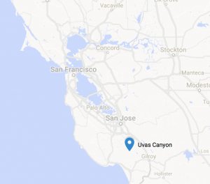
Uvas Canyon is located in Morgan Hill, about 20 miles south of San Jose, and just over an hours drive from the East Bay, depending on which part you’re in.
From the East Bay, take 680S to 101S.
After about 12mi, exit Bailey Rd. Follow Bailey Rd for about 3 miles all the way to a T intersection and make a left turn onto McKean Rd.
Follow McKean for 6 miles and turn right onto Croy Rd.
Croy road will eventually lead into a collection of properties at Sveadal. Continue onwards until you reach the park entrance and toll kiosk.
The Trail
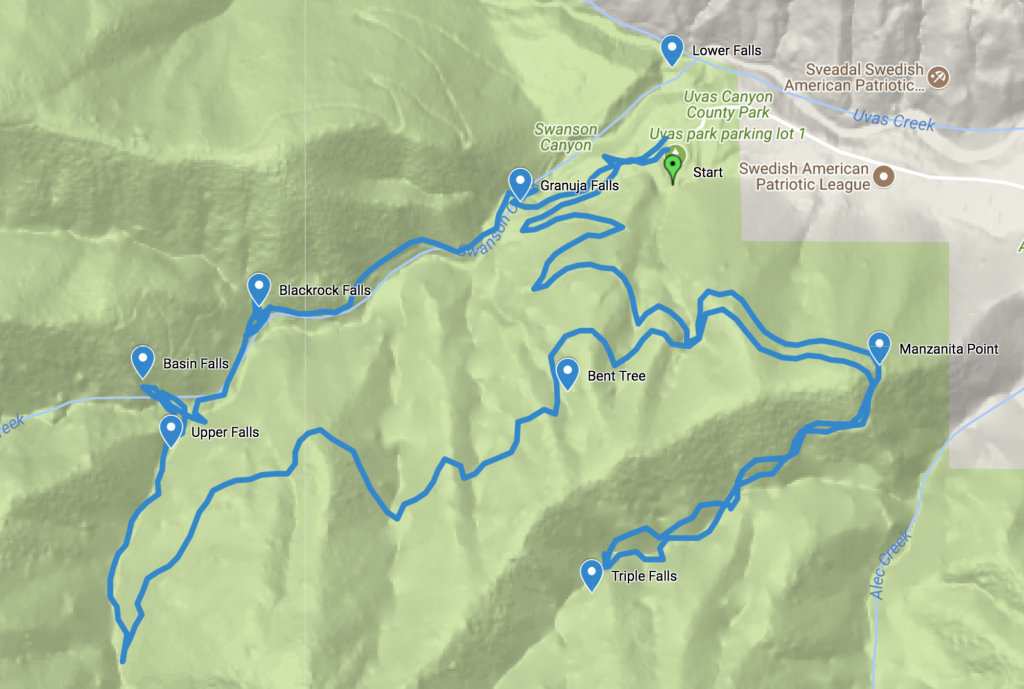

Checkpoint: Start
The trail conveniently starts out from the parking lot and bathrooms where you can stretch out after a long car ride.
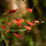
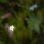
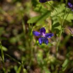
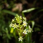
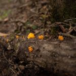
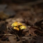
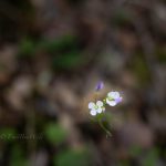
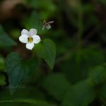
Pickup a Waterfall Loop trail guide which describes various flora along the trail designated by numbered signs.
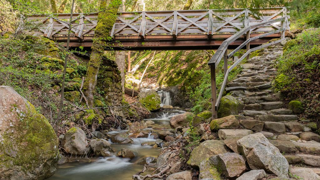
When you’re ready, proceed further up, past the Black Oak picnic area, to the first waterfall.
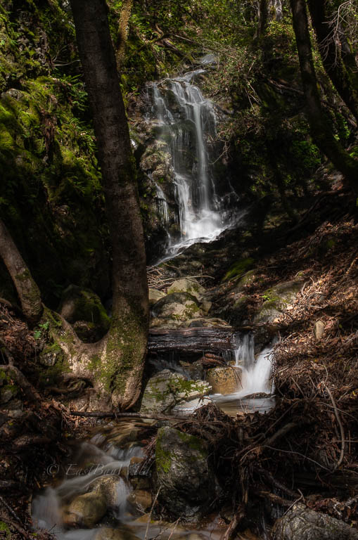
Checkpoint: Granuja Falls
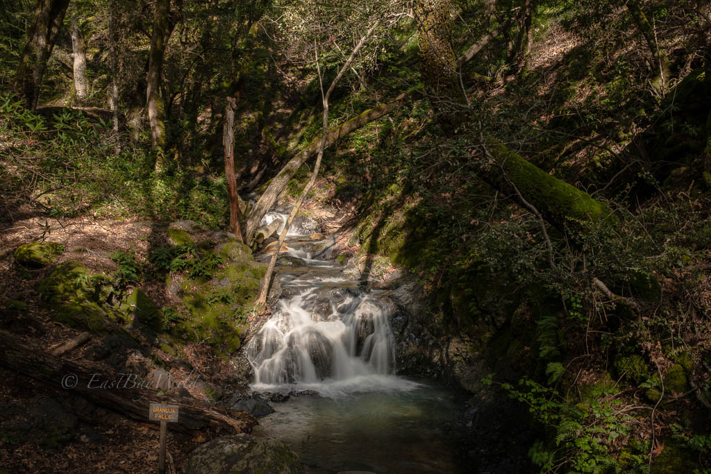
Cross the bridge across the creek and continue onto the Waterfalls Loop trail. After only 1/3 mile, you’ll come across the lower portion of Blackrock falls.
Checkpoint: Blackrock Falls

Walk about 20 ft further to find the spur to reach the upper portions of Black Rock falls.
Return to the main trail from Blackrock falls and continue up the Waterfalls trail a short distance along the creek. You’ll pass by Myrtle Flats to a Y junction. Take the right hand side to Basin Falls.
Checkpoint: Basin Falls
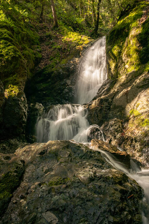
Go back down to the Y junction and then take the left side to visit Upper Falls.
Checkpoint: Upper Falls
After absorbing the grandeur of Upper Falls, continue along Contour Trail climbing towards the top of the falls. The trail begins to steepen at this point so if you want to take it easy, you can also call it a day by returning to the Waterfall Loop trail.
The Contour trail follows Swanson Creek upwards. Here, Swanson Creek demonstrates its adroitness down the steep, rocky grade, forming rivulets and dancing down the many diversions in its way.
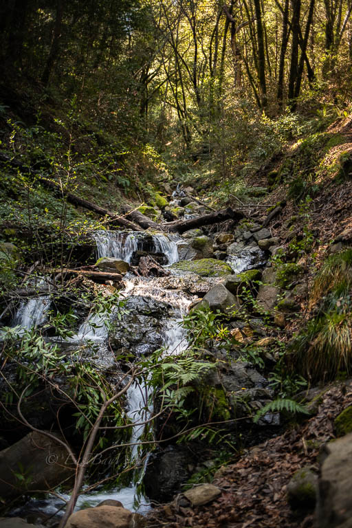
The contour trail departs from the creek and winds its way under the canopy of trees.

Bending around the hillside, you’ll reach a bent douglas fir tree.
Checkpoint: Bent Tree
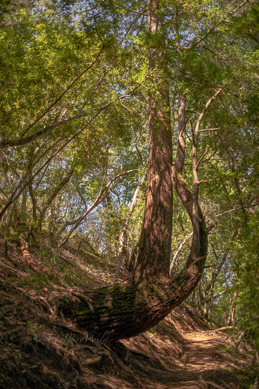
The tree marks approximately the half way point between the Upper Falls and Triple Falls.
Continue along the trail until you hit the Alec Canyon trail and turn right. The trail will reach a clearing with a bench to sit and gaze from Manzanita Point.
Checkpoint: Manzanita Point

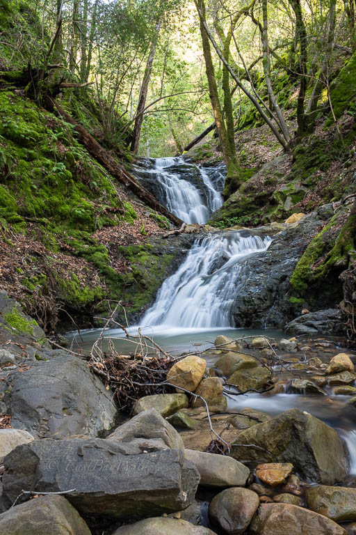
Continue down the Contour trail until you hit a signed Y intersection. The right side will take you to Triple Falls.
Checkpoint: Triple Falls
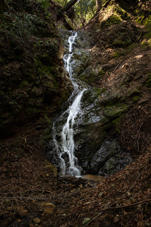
At the time of this writing, the last 100ft of the trail suffered from severe erosion and, while passable, required delicate footwork to reach the base of the falls.
From here, return along the same route. When you hit the intersection with the Contour Trail, remain on the Alec Canyon Trail to return back to the entrance.
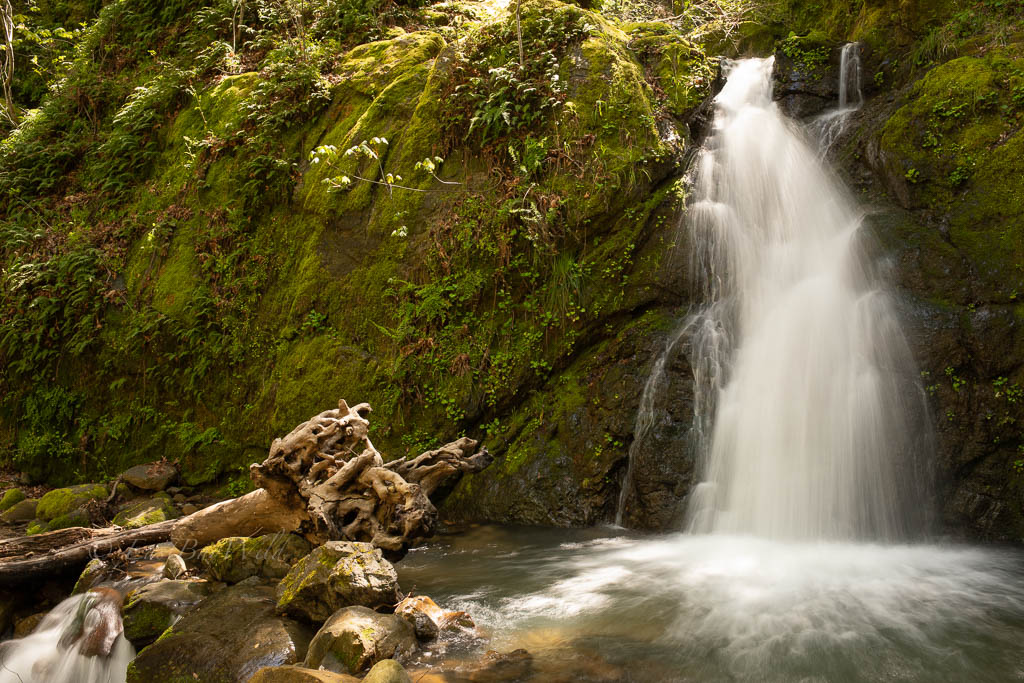
Bonus: Lower Falls
Once you return to the parking lot, you can take enter the Black Oak Group Area and begin the Swanson Creek trail. It takes you through a wonderful shaded trail that ends up at the intersection of the Uvas and Swanson Creek.
Here, Swanson Creek makes its final waterfall into a small pool that merges with Uvas creek.
Other Waterfall Hikes
Love hiking next to the constant rustle of flowing water and churning waterfalls? Try Berry Creek falls and the Golden cascades in Big Basin. Or Alamere Falls in Point Reyes.
Wildflowers and Flora